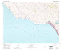
1965 Map of Cayucos
USGS Topo · Published 1994About this map
Cayucos sits prominently on the shoreline of Estero Bay, serving as the primary coastal settlement in this 1960s-era survey. The map details a landscape where the Pacific coastline meets the southern reaches of the San Geronimo region, marked by numerous named drainages including Villa Creek and Cayucos Creek. Along the shore, landmarks such as Point Estero and Cayucos Point define the rugged edge of the Pacific Ocean, while offshore features like Black Rock and Whale Rock provide essential context for coastal geography. Inland, the presence of the Whale Rock Reservoir and a Fish Hatchery indicates the importance of water management in this part of San Luis Obispo County. For those researching local heritage, the Cayucos-Morro Bay District Cem and the settlement of Filipponi offer specific points of interest within the coastal hills.
Find a feature on this map
27 named features on this map. Tap any name to fly to it.
Don’t see what you’re looking for? This feature index may not catch every label — zoom into the map to look around manually.
Map Details
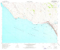
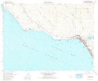
Editions of this 1965 Cayucos Map
3 editions found
Other maps of this area

1897 · Cayucos
USGS Topo · 1:62,500

1900 · San Luis
USGS Topo · 1:125,000

1919 · Adelaida
USGS Topo · 1:62,500

1919 · San Simeon
USGS Topo · 1:62,500

1932 · Adelaida
USGS Topo · 1:62,500

1937 · Cayucos
USGS Topo · 1:62,500

1937 · San Simeon
USGS Topo · 1:62,500

1942 · Adelaida
USGS Topo · 1:62,500

1943 · Cayucos
USGS Topo · 1:62,500

1947 · San Luis Obispo
USGS Topo · 1:250,000