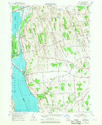
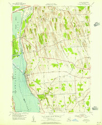
1954 Map of Cayuga
USGS Topo · Published 1968About this map
Cayuga Lake and its northern wetlands define this mid-century landscape where water, rail, and road infrastructure converge. The village of Cayuga sits at the edge of the water, served by the New York Central and Lehigh Valley railroads which crisscross the drumlin-dominated terrain of Throop and Aurelius. To the north, the Montezuma National Wildlife Refuge preserves the marshes around the Seneca River and the historic Cayuga Canal. The map reveals the early footprint of the State Thruway as it bypasses older crossroads like Free Bridge Corners. Notable local landmarks range from the Lakeview Cem to a mid-century Drive-in Theater along the highway, reflecting a period of transition between traditional agricultural life and modern transit developments near Cayuga Lake State Park.
Find a feature on this map
75 named features on this map. Tap any name to fly to it.
Don’t see what you’re looking for? This feature index may not catch every label — zoom into the map to look around manually.
Map Details
Editions of this 1954 Cayuga Map
2 editions found
Other maps of this area

1899 · Auburn
USGS Topo · 1:62,500

1902 · Geneva
USGS Topo · 1:62,500

1902 · Clyde
USGS Topo · 1:62,500

1902 · Weedsport
USGS Topo · 1:62,500

1902 · Auburn
USGS Topo · 1:62,500

1943 · Montezuma
USGS Topo · 1:31,680

1943 · Cayuga
USGS Topo · 1:31,680
1943 · Romulus
USGS Topo · 1:31,680
1943 · Scipio
USGS Topo · 1:31,680

1943 · Savannah
USGS Topo · 1:31,680