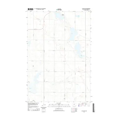
2014 Map of Cayuga NW
USGS Topo · Published 2014About this map
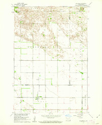
The prairie pothole landscape of Sargent County is meticulously documented here, dominated by a series of glacial lakes and wetlands that define the local geography. Significant water bodies such as Borg Lake, Lake Fedge, and Kandiotta Lake are prominent, while the Fangsrud Lake Bed indicates the dynamic nature of this terrain over time. The map's grid-like road system, composed of numbered avenues and streets like 140th Ave SE and 86th St SE, reflects the organized agricultural settlement of Herman Township.
Find a feature on this map
24 named features on this map. Tap any name to fly to it.
Don’t see what you’re looking for? This feature index may not catch every label — zoom into the map to look around manually.
Map Details
Editions of this 2014 Cayuga NW Map
This is the sole edition of this map. No revisions or reprints were ever made.
Other maps of this area
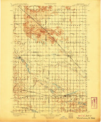
1907 · Wyndmere
USGS Topo · 1:125,000

1953 · Fargo
USGS Topo · 1:250,000

1956 · Fargo
USGS Topo · 1:250,000
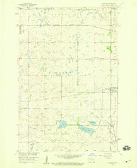
1958 · Rutland
USGS Topo · 1:24,000
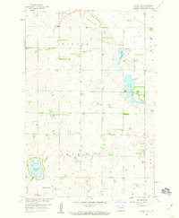
1958 · Cayuga NW
USGS Topo · 1:24,000
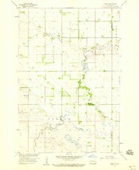
1958 · Hamlin
USGS Topo · 1:24,000
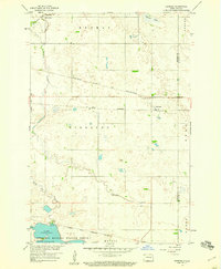
1958 · Geneseo
USGS Topo · 1:24,000
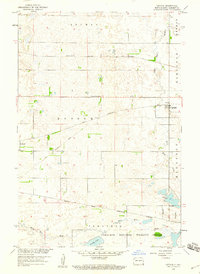
1958 · Cayuga
USGS Topo · 1:24,000
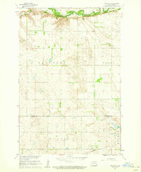
1960 · Lisbon SE
USGS Topo · 1:24,000
1960 · De Lamere
USGS Topo · 1:24,000