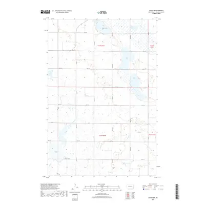
2017 Map of Cayuga NW
USGS Topo · Published 2017About this map
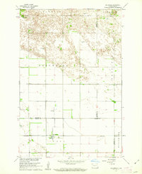
Kandiotta Lake and the nearby Fangsrud Lake Bed characterize the pothole-studded landscape of Sargent County in the late 2010s. This agricultural region is defined by a grid of rural roads like Buffalo Lake Rd and Co Rd 1, which partition the prairie into large sections typical of North Dakota's Herman Township. Significant local landmarks include Union Cem in the northwest and Shuman Cem to the south, serving as quiet anchors for the surrounding farming community. The hydrology of the area is particularly complex, with Borg Lake, Lake Fedge, and Boot Lake providing a glimpse into the seasonal water levels of the Red River Valley upland. The meandering course of Crooked Cr cuts through the southern sections, illustrating the natural drainage patterns that coexist with the established section lines of the township grid.
Find a feature on this map
22 named features on this map. Tap any name to fly to it.
Don’t see what you’re looking for? This feature index may not catch every label — zoom into the map to look around manually.
Map Details
Editions of this 2017 Cayuga NW Map
This is the sole edition of this map. No revisions or reprints were ever made.
Other maps of this area
1907 · Wyndmere
USGS Topo · 1:125,000

1953 · Fargo
USGS Topo · 1:250,000

1956 · Fargo
USGS Topo · 1:250,000
1958 · Rutland
USGS Topo · 1:24,000
1958 · Cayuga NW
USGS Topo · 1:24,000
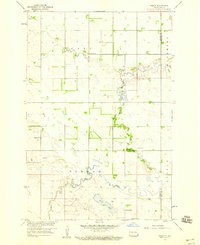
1958 · Hamlin
USGS Topo · 1:24,000
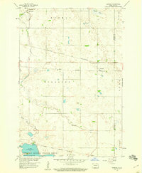
1958 · Geneseo
USGS Topo · 1:24,000
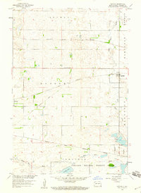
1958 · Cayuga
USGS Topo · 1:24,000
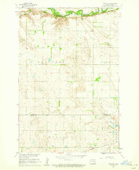
1960 · Lisbon SE
USGS Topo · 1:24,000
1960 · De Lamere
USGS Topo · 1:24,000