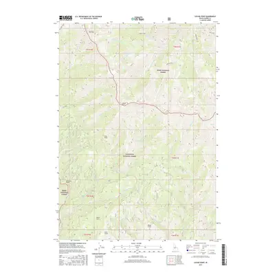
2017 Map of Cayuse Point
USGS Topo · Published 2017About this map
Cayuse Point and the surrounding high country of Elmore County are defined by a complex network of canyons and gulches at the boundary of two massive public lands. The landscape here is carved by the Middle Fork Corbus Cr and the S Fork Corbus Cr, which drain from the slopes of Bald Mtn. This area represents a transition point between the Boise National Forest and the Sawtooth National Forest, showing a wilderness nearly devoid of permanent settlements but rich in hydrologic features. Further south, the map details the drainages of Democrat Gulch, Barker Gulch, and Swain Gulch, which feed into the broader river systems. Named landmarks like Pony Ridge and Corbus Lake provide essential reference points for this high-elevation terrain.
Find a feature on this map
48 named features on this map. Tap any name to fly to it.
Don’t see what you’re looking for? This feature index may not catch every label — zoom into the map to look around manually.
Map Details
Editions of this 2017 Cayuse Point Map
This is the sole edition of this map. No revisions or reprints were ever made.
Other maps of this area
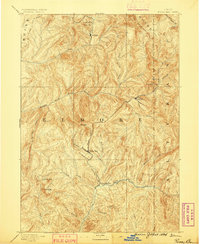
1894 · Rocky Bar
USGS Topo · 1:125,000

1955 · Hailey
USGS Topo · 1:250,000

1959 · Hailey
USGS Topo · 1:250,000

1962 · Hailey
USGS Topo · 1:250,000
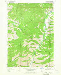
1964 · Featherville
USGS Topo · 1:24,000
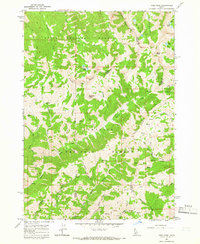
1964 · Ross Peak
USGS Topo · 1:24,000
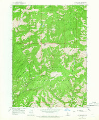
1964 · Cayuse Point
USGS Topo · 1:24,000
1964 · Jumbo Mtn
USGS Topo · 1:24,000
1964 · Grouse Butte
USGS Topo · 1:24,000
1964 · Rocky Bar
USGS Topo · 1:24,000