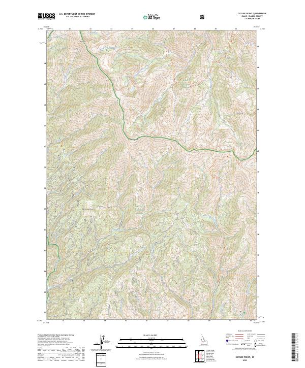
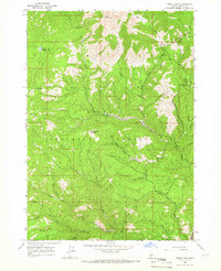
2023 Map of Cayuse Point
USGS Topo · Published 2023About this map
Cayuse Point stands as a prominent landmark in this high-elevation Idaho landscape, where the headwaters of several major drainages converge. The map illustrates a complex network of canyons and ridges where the Boise National Forest meets the Sawtooth National Forest. This 2023 survey documents a remote backcountry defined by its water system, ranging from the alpine Corbus Lake at the northern edge to the winding courses of the Yuba River and the Feather River.
Find a feature on this map
42 named features on this map. Tap any name to fly to it.
Don’t see what you’re looking for? This feature index may not catch every label — zoom into the map to look around manually.
Map Details
Editions of this 2023 Cayuse Point Map
This is the sole edition of this map. No revisions or reprints were ever made.
Other maps of this area

1894 · Rocky Bar
USGS Topo · 1:125,000

1955 · Hailey
USGS Topo · 1:250,000

1959 · Hailey
USGS Topo · 1:250,000

1962 · Hailey
USGS Topo · 1:250,000
1964 · Featherville
USGS Topo · 1:24,000

1964 · Ross Peak
USGS Topo · 1:24,000

1964 · Cayuse Point
USGS Topo · 1:24,000
1964 · Jumbo Mtn
USGS Topo · 1:24,000
1964 · Grouse Butte
USGS Topo · 1:24,000
1964 · Rocky Bar
USGS Topo · 1:24,000