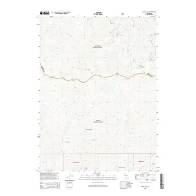
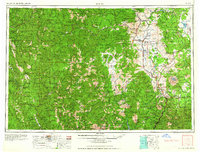
2015 Map of Cecil Lake
USGS Topo · Published 2015About this map
Klamath National Forest and Trinity National Forest meet in this high-altitude landscape along the Siskiyou and Trinity county line. The map highlights a series of alpine water bodies, including Cecil Lake, Mullane Lake, and Rattlesnake Lake, nestled among prominent landforms such as Limestone Ridge and Blue Ridge. Early routes and mountain crossings are represented by Chikoot Pass and Election Gap, which provide passage between the drainage basins of the N Fork Trinity River and the E Fork New River. The presence of Last Chance Spring and Bear Valley indicates the critical importance of water and grazing meadows in this remote wilderness. This 2015 survey documents the enduring physical geography and primitive trail network of the Cabin Peak area, providing essential context for understanding the historic divide between these two northern California counties.
Find a feature on this map
30 named features on this map. Tap any name to fly to it.
Don’t see what you’re looking for? This feature index may not catch every label — zoom into the map to look around manually.
Map Details
Editions of this 2015 Cecil Lake Map
This is the sole edition of this map. No revisions or reprints were ever made.
Other maps of this area
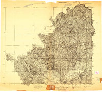
1909 · Big Bar
USGS Topo · 1:96,000
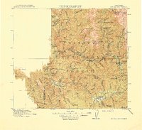
1915 · Big Bar and Vicinity
USGS Topo · 1:250,000

1948 · Weed
USGS Topo · 1:250,000

1950 · Weed
USGS Topo · 1:250,000
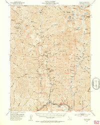
1951 · Helena
USGS Topo · 1:62,500
1951 · Ironside Mountain
USGS Topo · 1:62,500
1955 · Salmon Mtn
USGS Topo · 1:62,500
1955 · Cecilville
USGS Topo · 1:62,500
1958 · Redding
USGS Topo · 1:250,000
1958 · Weed
USGS Topo · 1:250,000