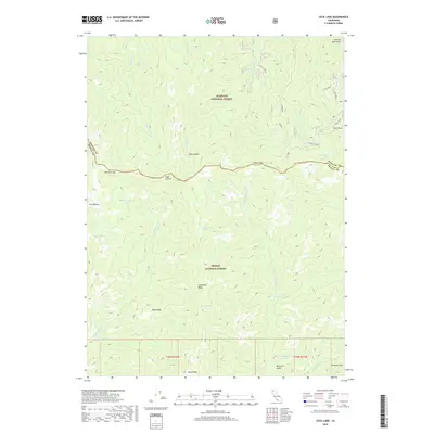
2018 Map of Cecil Lake
USGS Topo · Published 2018About this map
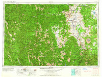
Klamath National Forest and Trinity National Forest meet along a prominent ridgeline that also serves as the boundary between Siskiyou and Trinity Counties. This high-elevation landscape is defined by the headwaters of the N Fork Trinity River and the E Fork New River, which carve deep drainage basins between features like Limestone Ridge and Blue Ridge. Small alpine bodies of water, including Cecil Lake, Mullane Lake, and Rattlesnake Lake, are scattered across the high terrain, often accessible only via forest roads such as Cecil View and Cecil Point. The placement of Election Gap and Chikoot Pass suggests historical transit routes through the Salmon Mountains, while family or locally named landmarks like Morrison Gulch and Strause Gulch indicate the area's history of prospecting or early land use.
Find a feature on this map
37 named features on this map. Tap any name to fly to it.
Don’t see what you’re looking for? This feature index may not catch every label — zoom into the map to look around manually.
Map Details
Editions of this 2018 Cecil Lake Map
This is the sole edition of this map. No revisions or reprints were ever made.
Other maps of this area
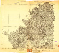
1909 · Big Bar
USGS Topo · 1:96,000
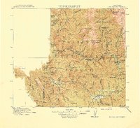
1915 · Big Bar and Vicinity
USGS Topo · 1:250,000

1948 · Weed
USGS Topo · 1:250,000

1950 · Weed
USGS Topo · 1:250,000
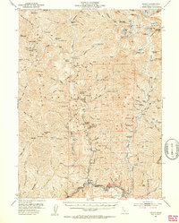
1951 · Helena
USGS Topo · 1:62,500
1951 · Ironside Mountain
USGS Topo · 1:62,500
1955 · Salmon Mtn
USGS Topo · 1:62,500
1955 · Cecilville
USGS Topo · 1:62,500
1958 · Redding
USGS Topo · 1:250,000
1958 · Weed
USGS Topo · 1:250,000