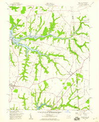
1958 Map of Cecilton
USGS Topo · Published 1959About this map
Bohemia River and the Sassafras River frame the low-lying agricultural landscape of southern Cecil County in the late 1950s. This survey, revised by the Geological Survey in 1958, illustrates a region defined by its narrow necks of land, including Middle Neck and Sassafras Neck, where tidal flats and marshy branches meet the upland fields. The town of Cecilton serves as the primary crossroads, while smaller settlements like Warwick, St Augustine, and Cayots dot the rural interior.
Find a feature on this map
37 named features on this map. Tap any name to fly to it.
Don’t see what you’re looking for? This feature index may not catch every label — zoom into the map to look around manually.
Map Details
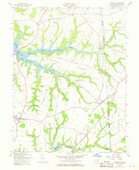
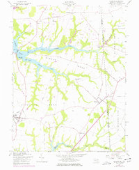
Editions of this 1958 Cecilton Map
3 editions found
Other maps of this area

1898 · Elkton
USGS Topo · 1:62,500

1899 · Dover
USGS Topo · 1:125,000

1900 · Elkton
USGS Topo · 1:62,500

1900 · Cecilton
USGS Topo · 1:62,500

1904 · Wilmington
USGS Topo · 1:62,500

1906 · Dover
USGS Topo · 1:125,000

1906 · Wilmington
USGS Topo · 1:62,500

1917 · Elkton
USGS Topo · 1:62,500

1919 · Wilmington
USGS Topo · 1:62,500

1920 · Dover
USGS Topo · 1:125,000