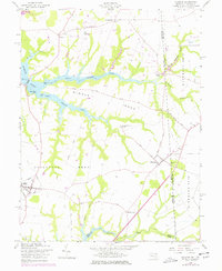
1958 Map of Cecilton
USGS Topo · Published 1978About this map
The finger-like peninsulas of Middle Neck and Sassafras Neck define the landscape of this Maryland-Delaware border region, situated between the tidal waters of the Bohemia River and the Sassafras River. At the time of this survey, the area maintained a rural, agricultural character centered around established crossroads and historical landings. The village of Warwick sits near the state line, while Cecilton serves as a local hub to the west. Local genealogy is well-represented through family-named locations such as Manlove and Ginns Corner, and enduring religious sites like St Francis Xavier Ch and Ebenezer Ch. The map illustrates the era's infrastructure, from the Landing Strip near St Augustine to the various gravel pits and landings that supported the river-based economy and local construction before later modern development altered the shoreline and road networks.
Find a feature on this map
38 named features on this map. Tap any name to fly to it.
Don’t see what you’re looking for? This feature index may not catch every label — zoom into the map to look around manually.
Map Details
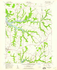
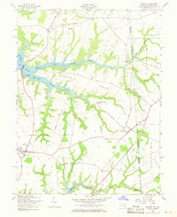
Editions of this 1958 Cecilton Map
3 editions found
Other maps of this area

1898 · Elkton
USGS Topo · 1:62,500

1899 · Dover
USGS Topo · 1:125,000

1900 · Elkton
USGS Topo · 1:62,500

1900 · Cecilton
USGS Topo · 1:62,500

1904 · Wilmington
USGS Topo · 1:62,500

1906 · Dover
USGS Topo · 1:125,000

1906 · Wilmington
USGS Topo · 1:62,500

1917 · Elkton
USGS Topo · 1:62,500

1919 · Wilmington
USGS Topo · 1:62,500

1920 · Dover
USGS Topo · 1:125,000