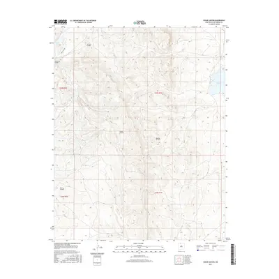
2017 Map of Cedar Canyon
USGS Topo · Published 2017About this map
Cedar Canyon cuts a deep path through the high country of Rio Arriba County, defining the drainage patterns of this upland terrain. The landscape is marked by a series of steep drainages including La Jara Canyon, Telephone Canyon, and Burro Canyon, which carve through the plateau. Water resources are localized at discrete points like Cedar Spring and several high-elevation bodies of water. La Jara Lake sits in the northwest corner, while Stone Lake provides a significant landmark on the eastern edge. For those studying land use, the presence of the Dipping Vat Tank suggests the continued importance of livestock management in these drainages. The map provides a detailed view of the Public Land Survey System divisions, specifically marking the transition between ranges R1W and R2W across townships T28N and T29N.
Find a feature on this map
12 named features on this map. Tap any name to fly to it.
Don’t see what you’re looking for? This feature index may not catch every label — zoom into the map to look around manually.
Map Details
Editions of this 2017 Cedar Canyon Map
This is the sole edition of this map. No revisions or reprints were ever made.
Other maps of this area
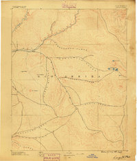
1889 · Largo
USGS Topo · 1:250,000
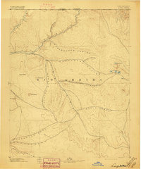
1895 · Largo
USGS Topo · 1:250,000
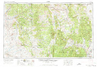
1954 · Aztec
USGS Topo · 1:250,000
1955 · Lumberton
USGS Topo · 1:62,500
1955 · Boulder Lake
USGS Topo · 1:62,500
1958 · Aztec
USGS Topo · 1:250,000
1962 · Aztec
USGS Topo · 1:250,000
1963 · Cement Lake
USGS Topo · 1:24,000
1963 · John Mills Lake
USGS Topo · 1:24,000
1963 · Leavry Canyon
USGS Topo · 1:24,000