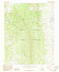
1983 Map of Cedar Canyon
USGS Topo · Published 1983About this map
The Continental Divide winds through this high-altitude landscape of Rio Arriba County, defining the drainage patterns of the Jicarilla Apache Indian Reservation. Surveyed in the late 1970s, this area is characterized by a network of deep-cut drainage systems such as Telephone Canyon, Cedar Canyon, and Cisneros Canyon. Water sources are vital markers in this arid terrain, with Stone Lake and La Jara Lake providing significant landmarks alongside smaller water points like Cedar Spring and Ross Spr.
Find a feature on this map
13 named features on this map. Tap any name to fly to it.
Don’t see what you’re looking for? This feature index may not catch every label — zoom into the map to look around manually.
Map Details
Editions of this 1983 Cedar Canyon Map
This is the sole edition of this map. No revisions or reprints were ever made.
Other maps of this area

1889 · Largo
USGS Topo · 1:250,000

1895 · Largo
USGS Topo · 1:250,000

1954 · Aztec
USGS Topo · 1:250,000

1955 · Lumberton
USGS Topo · 1:62,500

1955 · Boulder Lake
USGS Topo · 1:62,500

1958 · Aztec
USGS Topo · 1:250,000

1962 · Aztec
USGS Topo · 1:250,000
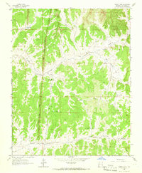
1963 · Cement Lake
USGS Topo · 1:24,000
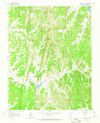
1963 · John Mills Lake
USGS Topo · 1:24,000
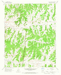
1963 · Leavry Canyon
USGS Topo · 1:24,000