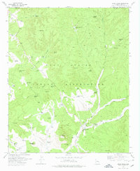
1978 Map of Cedar Creek
USGS Topo · Published 1978About this map
Fort Apache Indian Reservation lands dominate this mid-1970s landscape, centered on the community of Cedar Creek. The mapping reveals a detailed network of water sources essential for life in this arid Gila County terrain, featuring an extensive array of named tanks and springs such as Heifer Tank, Stinking Spring, and Salt Springs. Cultural life and ranching operations are anchored by the John F Kennedy Sch, the local Rodeo Grounds, and the outlying Stockman Station.
Find a feature on this map
62 named features on this map. Tap any name to fly to it.
Don’t see what you’re looking for? This feature index may not catch every label — zoom into the map to look around manually.
Map Details
Editions of this 1978 Cedar Creek Map
This is the sole edition of this map. No revisions or reprints were ever made.
Other maps of this area

1886 · Holbrook
USGS Topo · 1:250,000

1893 · Holbrook
USGS Topo · 1:250,000

1954 · Holbrook
USGS Topo · 1:250,000

1954 · Mesa
USGS Topo · 1:250,000

1957 · Mesa
USGS Topo · 1:250,000

1957 · Holbrook
USGS Topo · 1:250,000

1958 · Mesa
USGS Topo · 1:250,000

1958 · Holbrook
USGS Topo · 1:250,000

1960 · Holbrook
USGS Topo · 1:250,000

1960 · Mesa
USGS Topo · 1:250,000