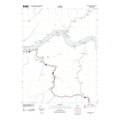
2011 Map of Cedar Grove
USGS Topo · Published 2011About this map
The Kanawha River serves as the central artery for this region of West Virginia, where a dense corridor of settlements follows the water's edge. Communities such as Cedar Grove, East Bank, and Glasgow are clustered along the riverbanks, reflecting the valley's long history as a hub for industry and transportation. Significant genealogical sites are documented here, including the Virginias Chapel Slave Cemetery and the Independent Order of Oddfellows Cemetery, which speak to the complex social history of the Kanawha Valley.
Find a feature on this map
78 named features on this map. Tap any name to fly to it.
Don’t see what you’re looking for? This feature index may not catch every label — zoom into the map to look around manually.
Map Details
Editions of this 2011 Cedar Grove Map
This is the sole edition of this map. No revisions or reprints were ever made.
Other maps of this area

1897 · Kanawha Falls
USGS Topo · 1:125,000

1899 · Charleston
USGS Topo · 1:125,000

1900 · Kanawha Falls
USGS Topo · 1:125,000

1901 · Kanawha Falls
USGS Topo · 1:125,000

1907 · Clendenin
USGS Topo · 1:62,500

1908 · Montgomery
USGS Topo · 1:48,000

1909 · Charleston
USGS Topo · 1:62,500

1909 · Clendenin
USGS Topo · 1:62,500

1909 · Peytona
USGS Topo · 1:48,000

1910 · Montgomery
USGS Topo · 1:62,500