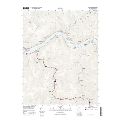
2016 Map of Cedar Grove
USGS Topo · Published 2016About this map
The Kanawha River serves as the central artery for this industrial and residential corridor, where the CSX railroad tracks and E Dupont Ave trace the river's winding northern bank. This survey documents a landscape defined by steep Appalachian hollows, such as Halfway Hollow and Schoolhouse Hollow, which channel development into tight ribbons along the valley floor. The map highlights a series of riverfront settlements including Cedar Grove, East Bank, and Glasgow, each with a distinct grid of streets tucked between the water and the rising terrain.
Find a feature on this map
113 named features on this map. Tap any name to fly to it.
Don’t see what you’re looking for? This feature index may not catch every label — zoom into the map to look around manually.
Map Details
Editions of this 2016 Cedar Grove Map
This is the sole edition of this map. No revisions or reprints were ever made.
Other maps of this area

1897 · Kanawha Falls
USGS Topo · 1:125,000

1899 · Charleston
USGS Topo · 1:125,000

1900 · Kanawha Falls
USGS Topo · 1:125,000

1901 · Kanawha Falls
USGS Topo · 1:125,000

1907 · Clendenin
USGS Topo · 1:62,500

1908 · Montgomery
USGS Topo · 1:48,000

1909 · Charleston
USGS Topo · 1:62,500

1909 · Clendenin
USGS Topo · 1:62,500

1909 · Peytona
USGS Topo · 1:48,000

1910 · Montgomery
USGS Topo · 1:62,500