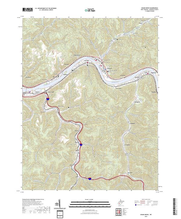
2023 Map of Cedar Grove
USGS Topo · Published 2023About this map
The Kanawha River serves as the central artery for a series of industrial and residential communities including Cedar Grove, East Bank, and Glasgow. This corridor is defined by its tight geography, where the river and transport routes like E Dupont Ave and Front St are squeezed between steep valley walls. Local genealogy is well-preserved through numerous burial sites such as the Independent Order of Oddfellows Cem and Virginia's Chapel Cem, which sit alongside established neighborhoods.
Find a feature on this map
114 named features on this map. Tap any name to fly to it.
Don’t see what you’re looking for? This feature index may not catch every label — zoom into the map to look around manually.
Map Details
Editions of this 2023 Cedar Grove Map
This is the sole edition of this map. No revisions or reprints were ever made.
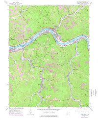
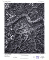
Historical Maps of Dawes Through Time
3 maps found