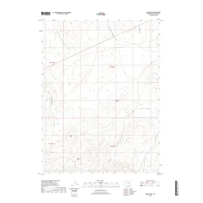
2019 Map of Cedar Knob
USGS Topo · Published 2019About this map
Wild Horse Ridge and the prominent high point of Cedar Knob define the high-desert geography of this Moffat County quadrant. The landscape is deeply incised by a network of drainage systems, including Lone Tree Gulch and Thornburg Draw to the north, which give way to the rugged relief of Elk Springs Ridge in the south. The area’s water sources and drainage patterns are meticulously documented, from the named waters of Cedar Springs to smaller tributaries like Bob Hughes Cr and Deception Cr.
Find a feature on this map
21 named features on this map. Tap any name to fly to it.
Don’t see what you’re looking for? This feature index may not catch every label — zoom into the map to look around manually.
Map Details
Editions of this 2019 Cedar Knob Map
This is the sole edition of this map. No revisions or reprints were ever made.
Other maps of this area
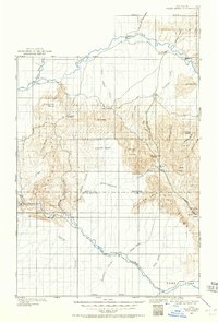
1907 · White River
USGS Topo · 1:125,000
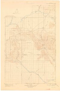
1910 · White River
USGS Topo · 1:125,000

1954 · Vernal
USGS Topo · 1:250,000

1958 · Vernal
USGS Topo · 1:250,000
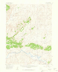
1958 · Maybell
USGS Topo · 1:62,500
1958 · Citadel Plateau
USGS Topo · 1:62,500

1960 · Vernal
USGS Topo · 1:250,000
1960 · Elk Springs
USGS Topo · 1:62,500
1960 · Lone Mountain
USGS Topo · 1:62,500
1979 · Rangely
USGS Topo · 1:100,000