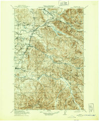
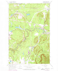
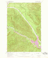
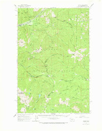
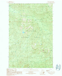
1913 Map of Cedar Lake
USGS Topo · Published 1944About this map
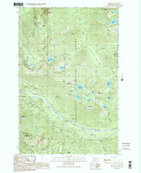
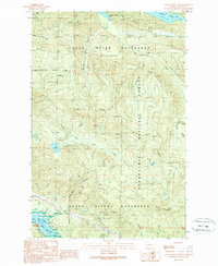
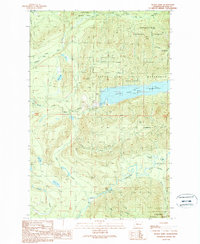
Industrial activity and resource extraction define this landscape on the western slopes of the Cascades. Loggers and miners established a dense network of camps and towns such as Selleck, Ravensdale, and Black Diamond. The map highlights the early 20th-century water and power infrastructure for the growing Puget Sound region, specifically the New Dam Site and Power Plant at Cedar Lake. These developments were tied together by the competing tracks of the Chicago Milwaukee and St Paul RR and the Northern Pacific RR, which navigated the river valleys to transport coal and timber. Remote mountain lookouts like Humphrey Lookout and Huckleberry Lookout suggest the importance of forest management within the Snoqualmie National Forest, while now-obscure settlements like Kerriston and Taylor mark the era's intensive logging and clay manufacturing operations.
Find a feature on this map
128 named features on this map. Tap any name to fly to it.
Don’t see what you’re looking for? This feature index may not catch every label — zoom into the map to look around manually.
Map Details
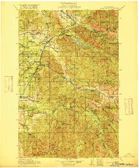
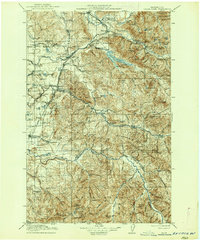
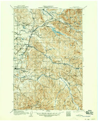
Editions of this 1913 Cedar Lake Map
5 editions found

Historical Maps of Kent Through Time
63 maps found
1913 Cedar Lake
King County, WA
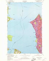
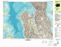
1949 Duwamish Head
King County, WA

1949 Poverty Bay
King County, WA
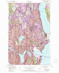
1949 Seattle North
King County, WA
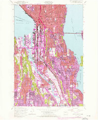
1949 Seattle South
King County, WA

1949 Shilshole Bay
King County, WA
1953 Cumberland
King County, WA
1953 Eagle Gorge
King County, WA
1953 Lake Joy
King County, WA

1960 Bandera
King County, WA
1960 Mount Si
King County, WA
1961 Poverty Bay
King County, WA
1962 Lester
King County, WA
1965 Big Snow Mtn
King County, WA
1965 Grotto
King County, WA

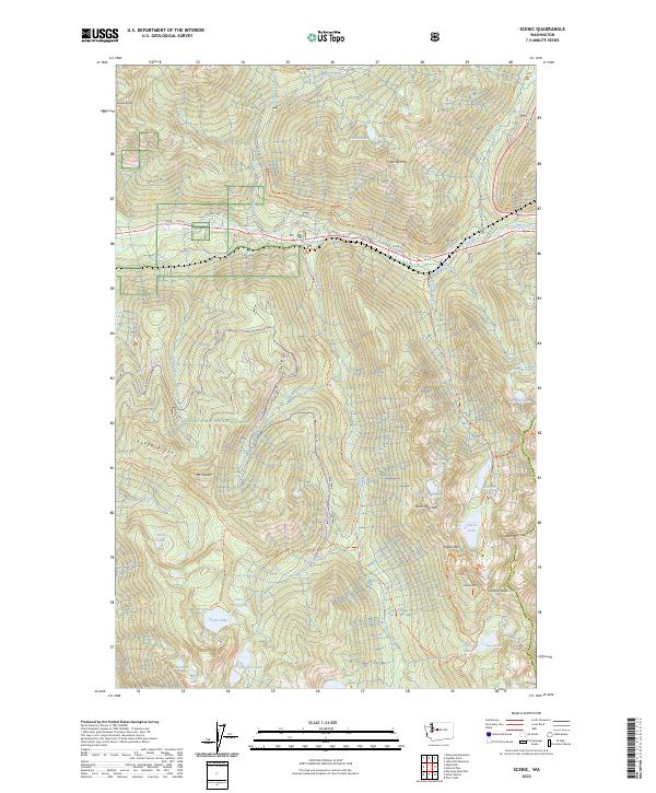
1965 Scenic
King County, WA
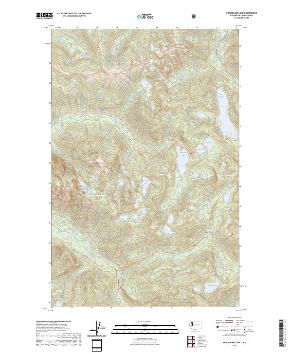
1965 Snoqualmie Lake
King County, WA

1968 Duwamish Head
King County, WA

1975 Skykomish River
King County, WA

1983 Bellevue South
King County, WA

1983 Seattle North
King County, WA
1983 Seattle South
King County, WA

1986 Cyclone Creek
King County, WA

1986 Lake Joy
King County, WA

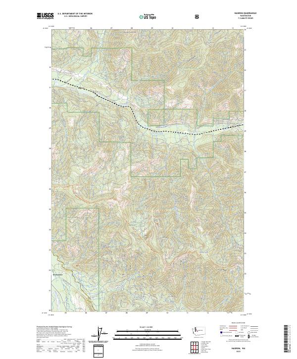
1986 Nagrom
King County, WA
1989 Bandera
King County, WA

1989 Chester Morse Lake
King County, WA
1989 Cougar Mountain
King County, WA
1989 Devils Slide
King County, WA
1989 Findley Lake
King County, WA
1989 Lake Philippa
King County, WA

1989 Lester
King County, WA
1989 Lost Lake
King County, WA
1989 Mount Phelps
King County, WA

1989 Mount Si
King County, WA

1993 Cumberland
King County, WA

1993 Eagle Gorge
King County, WA

1993 Lake Joy
King County, WA

1997 Poverty Bay
King County, WA
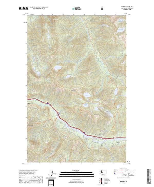
2023 Bandera
King County, WA
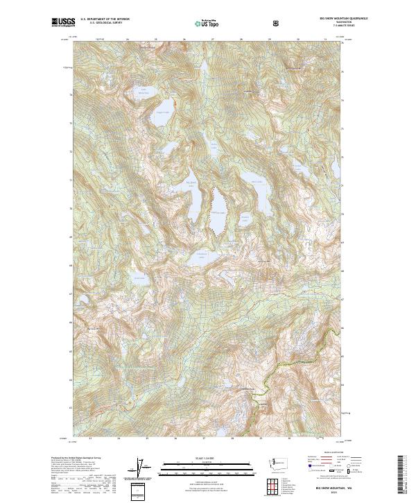
2023 Big Snow Mountain
King County, WA
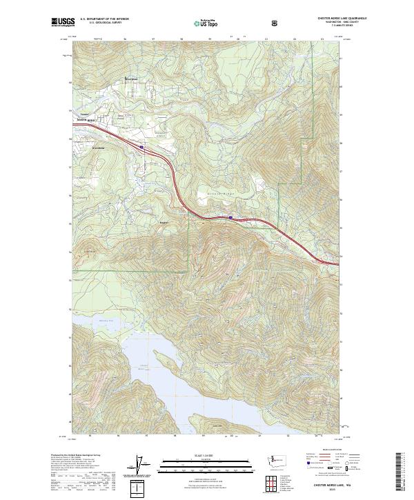
2023 Chester Morse Lake
King County, WA
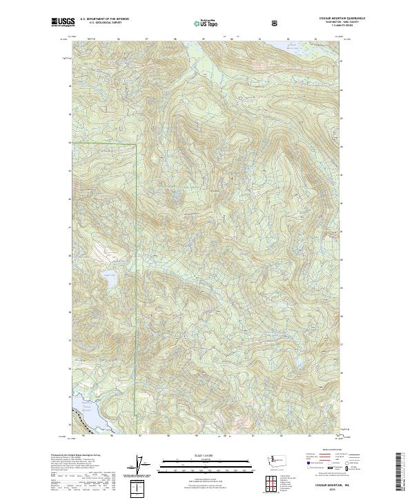
2023 Cougar Mountain
King County, WA

2023 Cumberland
King County, WA
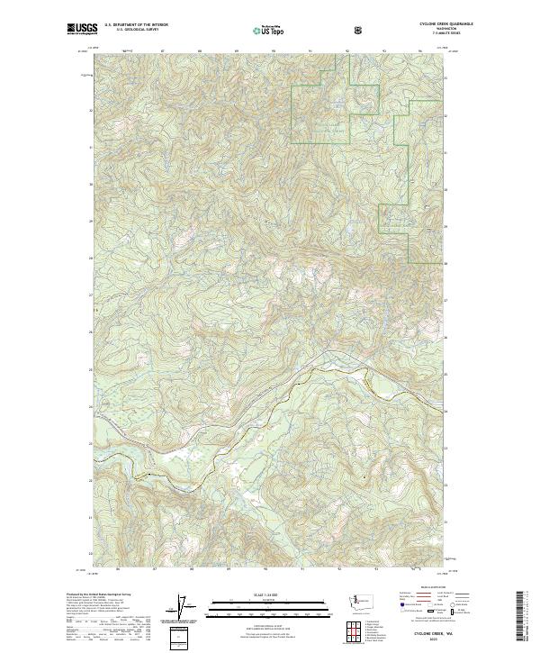
2023 Cyclone Creek
King County, WA
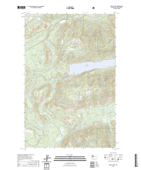
2023 Devils Slide
King County, WA
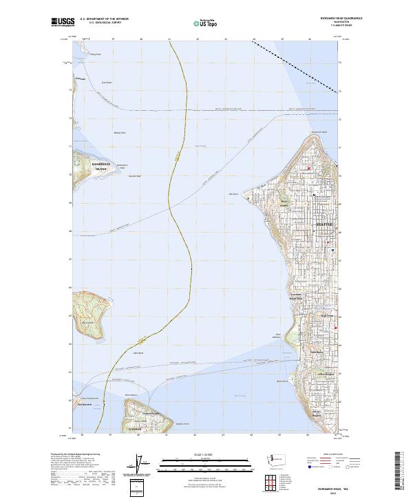
2023 Duwamish Head
King County, WA
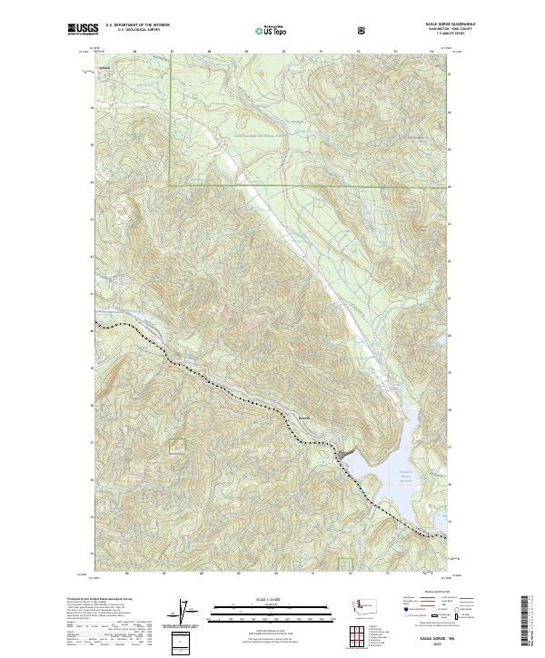
2023 Eagle Gorge
King County, WA
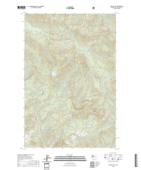
2023 Findley Lake
King County, WA
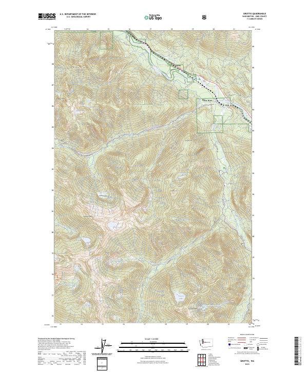
2023 Grotto
King County, WA
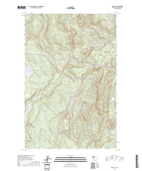
2023 Lake Joy
King County, WA
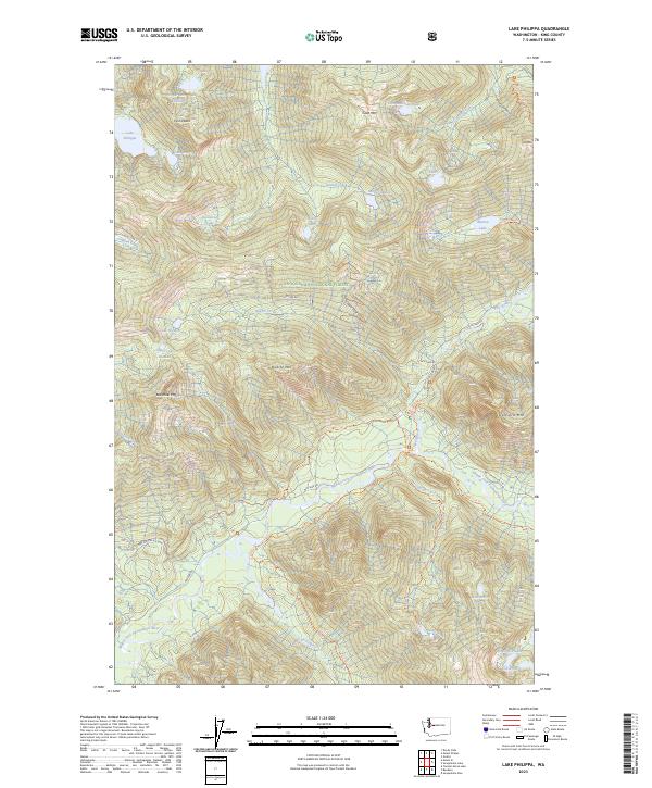
2023 Lake Philippa
King County, WA
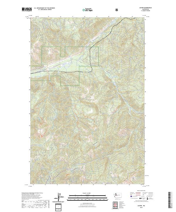
2023 Lester
King County, WA
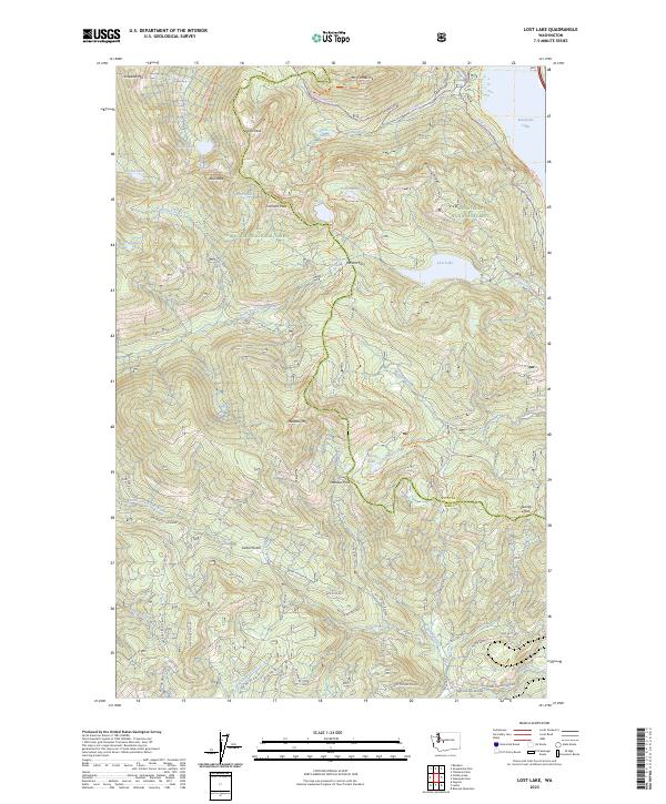
2023 Lost Lake
King County, WA
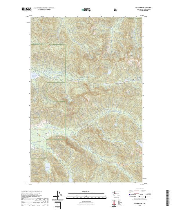
2023 Mount Phelps
King County, WA
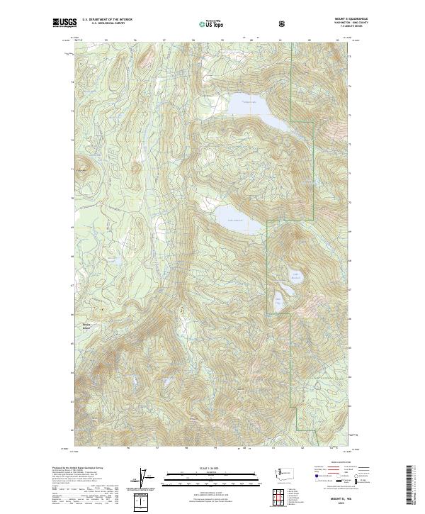
2023 Mount Si
King County, WA
2023 Nagrom
King County, WA

2023 Poverty Bay
King County, WA
2023 Scenic
King County, WA
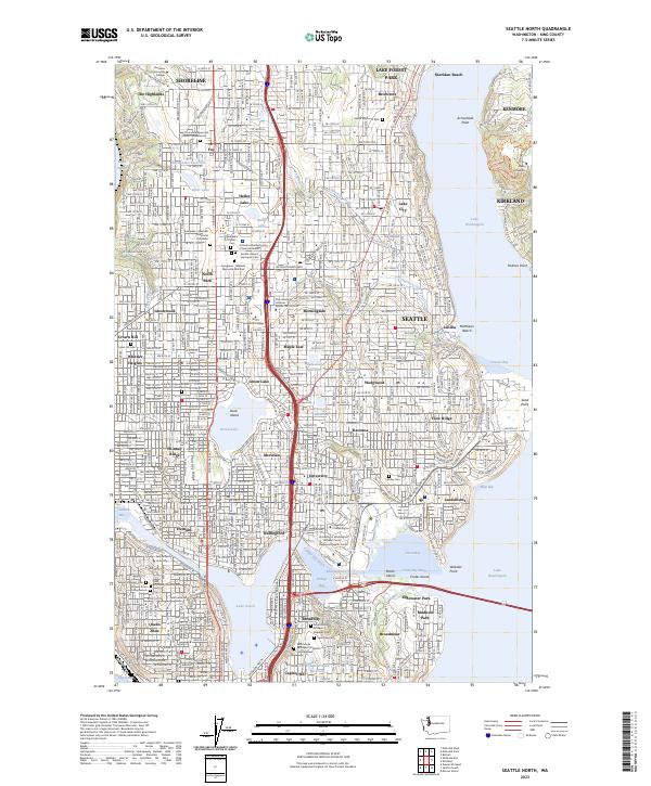
2023 Seattle North
King County, WA
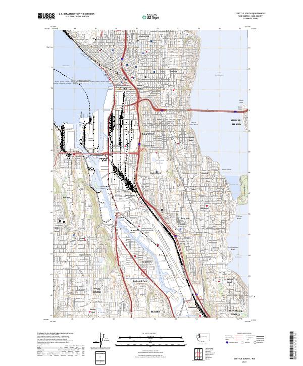
2023 Seattle South
King County, WA
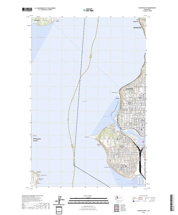
2023 Shilshole Bay
King County, WA
2023 Snoqualmie Lake
King County, WA