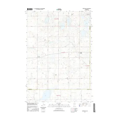
2016 Map of Cedar Mills
USGS Topo · Published 2016About this map
Cedar Mills sits as the central hub of this agricultural landscape in Meeker County, where the sprawling path of the S Fork Crow River and the complex drainage of County Ditch Number Eighteen manage the high-water table of the prairie. The map details a transition zone of glacial depressions, from the larger waters of Boon Lake in the south to the clusters of Atkinson Lake, Goose Lake, and Lake Harding in the north. This topography defined the early development of the region, as seen in the placement of cemeteries and small settlements.
Find a feature on this map
35 named features on this map. Tap any name to fly to it.
Don’t see what you’re looking for? This feature index may not catch every label — zoom into the map to look around manually.
Map Details
Editions of this 2016 Cedar Mills Map
This is the sole edition of this map. No revisions or reprints were ever made.
Other maps of this area

1953 · New Ulm
USGS Topo · 1:250,000

1953 · Saint Cloud
USGS Topo · 1:250,000

1957 · Saint Cloud
USGS Topo · 1:250,000

1957 · New Ulm
USGS Topo · 1:250,000

1958 · New Ulm
USGS Topo · 1:250,000

1958 · Saint Cloud
USGS Topo · 1:250,000

1958 · Dassel
USGS Topo · 1:62,500

1958 · Hutchinson
USGS Topo · 1:62,500

1967 · New Ulm
USGS Topo · 1:250,000

1967 · Churchill
USGS Topo · 1:24,000