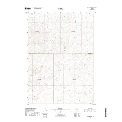
2017 Map of Cedar Mountain
USGS Topo · Published 2017About this map
Cedar Mtn serves as a central landmark for this Wyoming landscape, where the high desert terrain is defined by a series of significant erosional features. The map illustrates a complex drainage network including Walters Draw and Freeman Draw to the west, while Wildcat Gulch cuts through the eastern terrain. This 2017 survey by the U.S. Geological Survey documents the boundary between Washakie and Hot Springs Counties, providing a clear record of the jurisdictional lines and public land survey system divisions. To the north, Tie Down Flats offers a contrast to the dissected ridges and draws that characterize the southern portion of the quadrangle. The presence of Cedar Mountain Rd indicates the primary path through this backcountry, connecting the various draws such as Neiber Draw and Coal Draw in a region where water and topography dictate the movement of people and livestock.
Find a feature on this map
14 named features on this map. Tap any name to fly to it.
Don’t see what you’re looking for? This feature index may not catch every label — zoom into the map to look around manually.
Map Details
Editions of this 2017 Cedar Mountain Map
This is the sole edition of this map. No revisions or reprints were ever made.
Other maps of this area
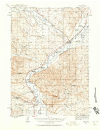
1945 · Kirby
USGS Topo · 1:62,500
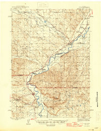
1946 · Kirby
USGS Topo · 1:62,500

1955 · Thermopolis
USGS Topo · 1:250,000

1955 · Arminto
USGS Topo · 1:250,000
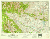
1958 · Thermopolis
USGS Topo · 1:250,000

1958 · Arminto
USGS Topo · 1:250,000
1960 · Coyote Hill
USGS Topo · 1:24,000
1960 · Red Hole
USGS Topo · 1:24,000
1960 · Thermopolis
USGS Topo · 1:24,000
1962 · Thermopolis
USGS Topo · 1:250,000