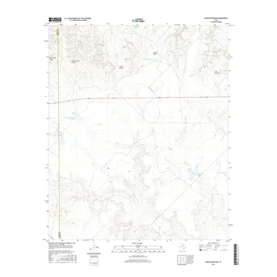
2016 Map of Cedar Mountain
USGS Topo · Published 2016About this map
The King Co Knox Co border defines the western edge of this landscape, where the terrain is marked by a series of deep drainages and cattle tanks. The namesake Cedar Mountain rises in the northeast, overlooking a complex network of seasonal waterways including Little Croton Cr and Smelter Cr. Ranching operations are evident through family-named landmarks like Moorehouse Brothers Ranch Lake and Lyles Brothers Lake, along with essential water catchments such as Coppermine Tank and Horseshoe Tank. The geography is further characterized by dramatic relief names, including Big Getaway Canyon, Little Getaway Canyon, and Panther Canyon, which cut through the high ground. This area, largely devoid of major settlements, preserves a record of land use focused on the intermittent flows of Hackberry Cr and Dutchman Cr.
Find a feature on this map
19 named features on this map. Tap any name to fly to it.
Don’t see what you’re looking for? This feature index may not catch every label — zoom into the map to look around manually.
Map Details
Editions of this 2016 Cedar Mountain Map
This is the sole edition of this map. No revisions or reprints were ever made.
Other maps of this area
1954 · Lubbock
USGS Topo · 1:250,000
1954 · Wichita Falls
USGS Topo · 1:250,000
1958 · Wichita Falls
USGS Topo · 1:250,000
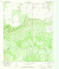
1966 · Truscott South
USGS Topo · 1:24,000
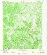
1966 · Ox Yoke Creek
USGS Topo · 1:24,000
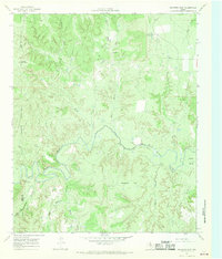
1966 · Maverick Flat
USGS Topo · 1:24,000
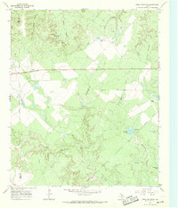
1967 · Cedar Mountain
USGS Topo · 1:24,000
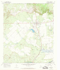
1967 · Benjamin
USGS Topo · 1:24,000
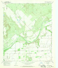
1967 · Knox City NW
USGS Topo · 1:24,000
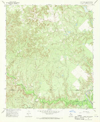
1967 · Kiowa Peak NE
USGS Topo · 1:24,000