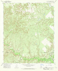
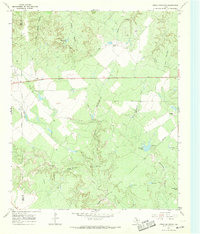
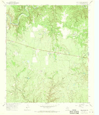
1967 Map of Kiowa Peak NE
USGS Topo · Published 1970About this map
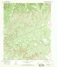
Brazos River waters and the rough, dissected terrain of the Rolling Plains dominate this landscape along the King Co Stonewall Co line. The map records a mid-century industrial presence focused on resource extraction, characterized by a sprawling Pipeline network, a localized Refinery, and a Pumping Sta. The topography is defined by significant erosion features such as Smelter Canyon and Wedington Canyon, while the hydrology is marked by the winding courses of North Croton Creek and Gyp Creek. These watercourses provided the necessary infrastructure for early monitoring, evidenced by a Gaging Sta near the riverbank. This survey captures a moment when the rural landscape was increasingly utilized for energy production, with numerous Oil Wells and a remote Landing Strip scattered across the high ground between the canyon breaks.
Find a feature on this map
15 named features on this map. Tap any name to fly to it.
Don’t see what you’re looking for? This feature index may not catch every label — zoom into the map to look around manually.
Map Details
Editions of this 1967 Kiowa Peak NE Map
2 editions found
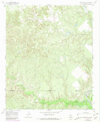
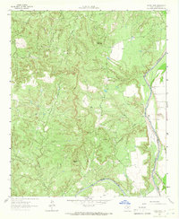
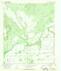
Other maps of this area

1954 · Lubbock
USGS Topo · 1:250,000

1954 · Wichita Falls
USGS Topo · 1:250,000

1958 · Wichita Falls
USGS Topo · 1:250,000
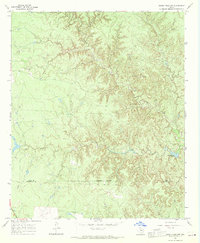
1962 · Kiowa Peak
USGS Topo · 1:24,000
1965 · Jud
USGS Topo · 1:24,000
1967 · Cedar Mountain
USGS Topo · 1:24,000
1967 · Dark Canyon
USGS Topo · 1:24,000
1967 · Knox City NW
USGS Topo · 1:24,000
1967 · Kiowa Peak NW
USGS Topo · 1:24,000
1967 · Buzzard Peak
USGS Topo · 1:24,000