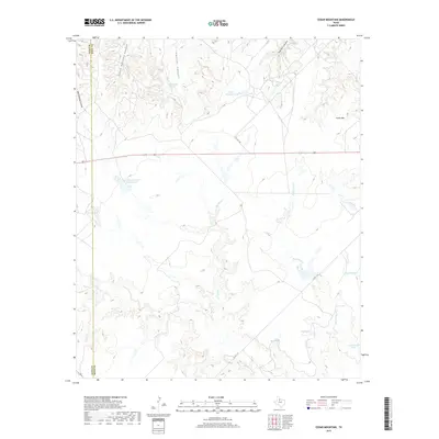
2019 Map of Cedar Mountain
USGS Topo · Published 2019About this map
Cedar Mtn rises above the breaks of the Brazos River watershed, defining the rugged geography of this Knox County landscape. The terrain is marked by a series of deep drainage features, including Big Getaway Canyon, Little Getaway Canyon, and Smelter Canyon. These canyons and the winding course of Smelter Cr suggest a history of erosion and limited accessibility, typical of the Rolling Plains region.
Find a feature on this map
18 named features on this map. Tap any name to fly to it.
Don’t see what you’re looking for? This feature index may not catch every label — zoom into the map to look around manually.
Map Details
Editions of this 2019 Cedar Mountain Map
This is the sole edition of this map. No revisions or reprints were ever made.
Other maps of this area
1954 · Lubbock
USGS Topo · 1:250,000
1954 · Wichita Falls
USGS Topo · 1:250,000
1958 · Wichita Falls
USGS Topo · 1:250,000
1966 · Truscott South
USGS Topo · 1:24,000
1966 · Ox Yoke Creek
USGS Topo · 1:24,000
1966 · Maverick Flat
USGS Topo · 1:24,000
1967 · Cedar Mountain
USGS Topo · 1:24,000
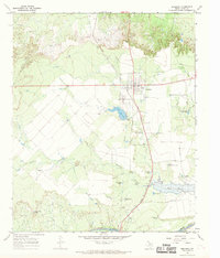
1967 · Benjamin
USGS Topo · 1:24,000
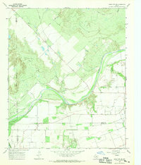
1967 · Knox City NW
USGS Topo · 1:24,000
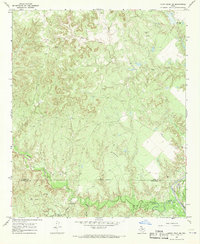
1967 · Kiowa Peak NE
USGS Topo · 1:24,000