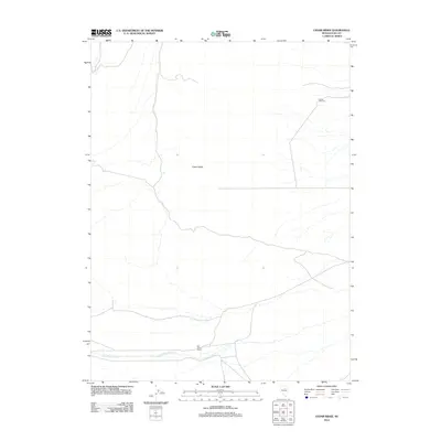
2012 Map of Cedar Ridge
USGS Topo · Published 2012About this map
Cedar Ridge rises as a prominent topographical feature in this portion of Elko County, defining a landscape marked by high-desert water management and historic ranching. The presence of the Old Porter Ranch near the southern boundary suggests the enduring footprint of pastoral life in this region. This 2012 survey illustrates how water resources are channeled through the terrain, with Little Porter Creek flowing across the southern reaches of the quadrangle.
Find a feature on this map
4 named features on this map. Tap any name to fly to it.
Don’t see what you’re looking for? This feature index may not catch every label — zoom into the map to look around manually.
Map Details
Editions of this 2012 Cedar Ridge Map
This is the sole edition of this map. No revisions or reprints were ever made.
Other maps of this area
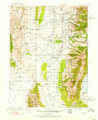
1934 · Jiggs
USGS Topo · 1:125,000
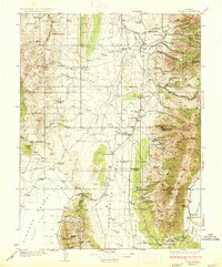
1937 · Jiggs
USGS Topo · 1:125,000
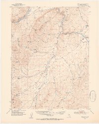
1952 · Dixie Flats
USGS Topo · 1:62,500

1955 · Elko
USGS Topo · 1:250,000
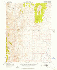
1956 · Robinson Mtn
USGS Topo · 1:62,500

1958 · Elko
USGS Topo · 1:250,000
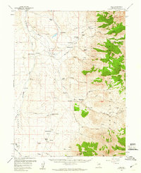
1959 · Jiggs
USGS Topo · 1:62,500

1962 · Elko
USGS Topo · 1:250,000
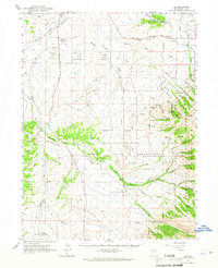
1962 · Lee
USGS Topo · 1:62,500

1965 · Elko
USGS Topo · 1:250,000