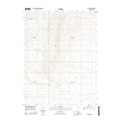
2014 Map of Cedar Ridge
USGS Topo · Published 2014About this map
Cedar Ridge rises as the central topographical feature of this Nevada landscape, situated within the vast expanse of Elko County. The map details the high-altitude terrain where the Dixie Hills meet the northern edges of the quadrangle, punctuated by the deep cut of Crane Springs Canyon in the northwest. This 2014 survey documents the remote character of the region, emphasizing natural drainage patterns such as Little Porter Cr in the south. The land is largely defined by its public land survey system grid, reflecting a history of range management and mineral exploration rather than dense settlement. Researchers can trace the intersections of various townships and ranges, including t30n r54e, t30n r55e, t29n r54e, and t29n r55e, which organize this corner of the Great Basin.
Find a feature on this map
8 named features on this map. Tap any name to fly to it.
Don’t see what you’re looking for? This feature index may not catch every label — zoom into the map to look around manually.
Map Details
Editions of this 2014 Cedar Ridge Map
This is the sole edition of this map. No revisions or reprints were ever made.
Other maps of this area
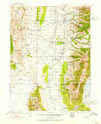
1934 · Jiggs
USGS Topo · 1:125,000
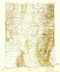
1937 · Jiggs
USGS Topo · 1:125,000
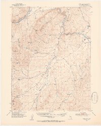
1952 · Dixie Flats
USGS Topo · 1:62,500

1955 · Elko
USGS Topo · 1:250,000
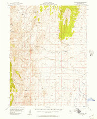
1956 · Robinson Mtn
USGS Topo · 1:62,500

1958 · Elko
USGS Topo · 1:250,000
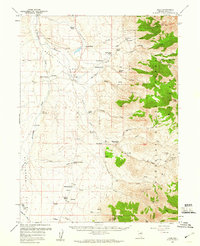
1959 · Jiggs
USGS Topo · 1:62,500

1962 · Elko
USGS Topo · 1:250,000
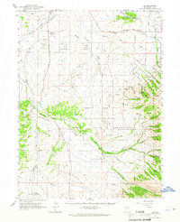
1962 · Lee
USGS Topo · 1:62,500

1965 · Elko
USGS Topo · 1:250,000