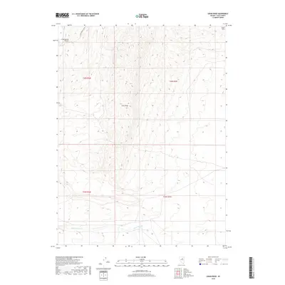
2018 Map of Cedar Ridge
USGS Topo · Published 2018About this map
Cedar Ridge rises as a central topographic prominence within this Elko County landscape, serving as a significant geographical anchor in a region defined by high-elevation terrain and seasonal drainages. In the southern portion of the quadrangle, Little Porter Cr cuts across the basin floor, illustrating the sparse but vital water networks that sustain the high desert environment. The northern reaches are shaped by Crane Springs Canyon, which provides a natural corridor through the upland reaches near the Dixie Hills. This 2018 survey reveals a landscape largely defined by the Public Land Survey System, with township and range lines like t30n r54e and t29n r55e marking the transition between open range and topographic barriers.
Find a feature on this map
9 named features on this map. Tap any name to fly to it.
Don’t see what you’re looking for? This feature index may not catch every label — zoom into the map to look around manually.
Map Details
Editions of this 2018 Cedar Ridge Map
This is the sole edition of this map. No revisions or reprints were ever made.
Other maps of this area
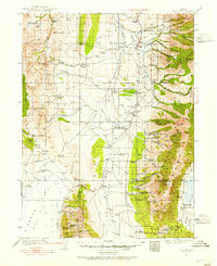
1934 · Jiggs
USGS Topo · 1:125,000
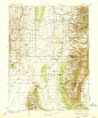
1937 · Jiggs
USGS Topo · 1:125,000
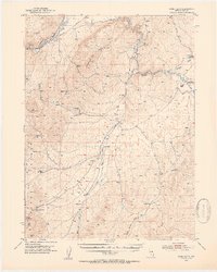
1952 · Dixie Flats
USGS Topo · 1:62,500

1955 · Elko
USGS Topo · 1:250,000
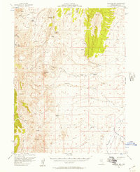
1956 · Robinson Mtn
USGS Topo · 1:62,500

1958 · Elko
USGS Topo · 1:250,000
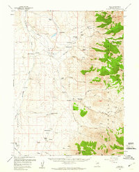
1959 · Jiggs
USGS Topo · 1:62,500

1962 · Elko
USGS Topo · 1:250,000
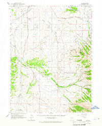
1962 · Lee
USGS Topo · 1:62,500

1965 · Elko
USGS Topo · 1:250,000