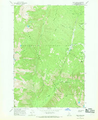
1966 Map of Cedar Ridge
USGS Topo · Published 1969About this map
Selway-Bitterroot Wilderness terrain dominates this 1966 survey, representing a vast intersection of protected lands including the Clearwater National Forest and Nez Perce National Forest. The landscape is defined by high-altitude features like Hoodoo Mtn and Gateway Peak, with the hydrological network radiating from Cedar Ridge and Friday Ridge. Human presence is concentrated at several key trailheads and back-country hubs, most notably Elk Summit, which serves as a junction for travelers moving between the Hoodoo Lake Campground and the Guard Sta.
Find a feature on this map
31 named features on this map. Tap any name to fly to it.
Don’t see what you’re looking for? This feature index may not catch every label — zoom into the map to look around manually.
Map Details
Editions of this 1966 Cedar Ridge Map
4 editions found
Other maps of this area

1911 · Lolo
USGS Topo · 1:250,000

1913 · Lolo
USGS Topo · 1:250,000

1956 · Hamilton
USGS Topo · 1:250,000

1959 · Hamilton
USGS Topo · 1:250,000

1960 · Hamilton
USGS Topo · 1:250,000

1964 · Hamilton
USGS Topo · 1:250,000

1966 · Grave Peak
USGS Topo · 1:24,000
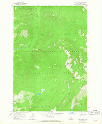
1966 · Wahoo Peak
USGS Topo · 1:24,000
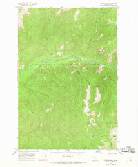
1966 · Freeman Peak
USGS Topo · 1:24,000
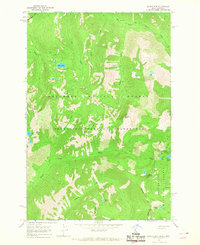
1966 · Saddle Mtn.
USGS Topo · 1:24,000