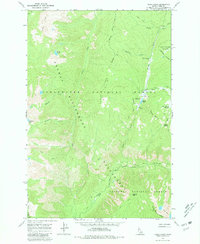
1966 Map of Cedar Ridge
USGS Topo · Published 1981About this map
Elk Summit stands as a central navigation point in this mid-1960s survey of the high backcountry where the Clearwater National Forest and Nezperce National Forest meet. The landscape is defined by the massive Selway-Bitterroot Wilderness, where human presence is limited to a network of established Pack Trails and primitive camps. Notable seasonal activity is concentrated around Hoodoo Lake and the Muleshoe Creek Camp, serving as remote outposts for those traversing the high ridges. High-elevation water bodies like Kidney Lake and the Porphyry Lakes are scattered across the terrain, while prominent landmarks such as Hoodoo Mtn and the Goat Heaven Peaks illustrate the vertical nature of this protected interior. The drainage of Cedar Creek and the East Fork Moose Creek dictate the passage through this roadless territory, captured just as modern wilderness management was being codified.
Find a feature on this map
32 named features on this map. Tap any name to fly to it.
Don’t see what you’re looking for? This feature index may not catch every label — zoom into the map to look around manually.
Map Details
Editions of this 1966 Cedar Ridge Map
4 editions found
Other maps of this area

1911 · Lolo
USGS Topo · 1:250,000

1913 · Lolo
USGS Topo · 1:250,000

1956 · Hamilton
USGS Topo · 1:250,000

1959 · Hamilton
USGS Topo · 1:250,000

1960 · Hamilton
USGS Topo · 1:250,000

1964 · Hamilton
USGS Topo · 1:250,000

1966 · Grave Peak
USGS Topo · 1:24,000
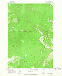
1966 · Wahoo Peak
USGS Topo · 1:24,000
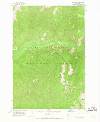
1966 · Freeman Peak
USGS Topo · 1:24,000
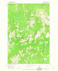
1966 · Saddle Mtn.
USGS Topo · 1:24,000