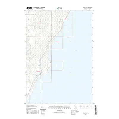
2017 Map of Cedar River
USGS Topo · Published 2017About this map
The Cedar River mouth serves as a focal point for this section of the Upper Peninsula coastline, where the river empties into the waters of Green Bay and Lake Michigan. This 2017 study illustrates the rural character of Cedarville Township, defined by its complex network of wetlands and drainage systems including Deer Creek and Elwood Creek. Near the shoreline, the small settlement of Cedar River is accompanied by the Cedar River Cemetery, providing a specific point of interest for those tracing local lineages. Further north along the coast, the hamlet of Fox sits near the mouth of another tributary, while the Cedar River Trail offers a modern route through the wooded lowlands. Distinctive coastal features like Deadmans Point and the confluence of the Walton River highlight the area's geography, where logging roads and local routes like Dunkas Road and River Road provide access to the interior forests.
Find a feature on this map
21 named features on this map. Tap any name to fly to it.
Don’t see what you’re looking for? This feature index may not catch every label — zoom into the map to look around manually.
Map Details
Editions of this 2017 Cedar River Map
This is the sole edition of this map. No revisions or reprints were ever made.
Other maps of this area
1954 · Escanaba
USGS Topo · 1:250,000
1957 · Escanaba
USGS Topo · 1:250,000
1958 · Escanaba
USGS Topo · 1:250,000
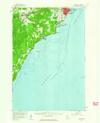
1958 · Escanaba
USGS Topo · 1:62,500
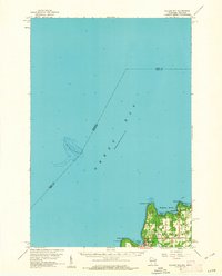
1960 · Ellison Bay
USGS Topo · 1:62,500
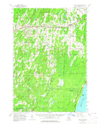
1963 · Bark River
USGS Topo · 1:62,500
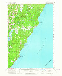
1963 · Cedar River
USGS Topo · 1:62,500
1981 · Marinette
USGS Topo · 1:100,000
1982 · Escanaba
USGS Topo · 1:100,000
1985 · Henderson Lakes
USGS Topo · 1:24,000