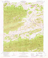
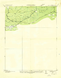
1959 Map of Cedar Springs
USGS Topo · Published 1978About this map
Cedar Springs sits at the heart of this 1959 Tennessee Valley Authority survey, which traces the complex geography where the Smyth Co and Wythe Co lines meet. The landscape is defined by the Tennessee Valley Divide and the ridgelines of Glade Mountain and White Rock Mountain. This survey reveals the industrial and community footprints of the era, including several strip mines located along the mountain slopes and a network of rural faith centers such as Union Ch, Sharon Ch, and Asbury Ch. The Appalachian Trail winds through the Jefferson National Forest in the west, while Rural Retreat Lake and Cripple Creek dominate the eastern drainages. For local historians, the map's pinpointing of family-named landmarks like Steffy Cem, Kirk Cem, and Keesling Cem provides a detailed view of the valley's mid-century settlement patterns.
Find a feature on this map
74 named features on this map. Tap any name to fly to it.
Don’t see what you’re looking for? This feature index may not catch every label — zoom into the map to look around manually.
Map Details
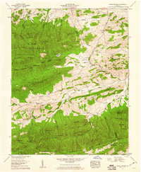
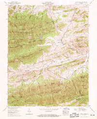
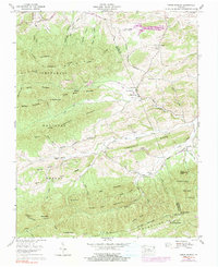
Editions of this 1959 Cedar Springs Map
4 editions found
Other maps of this area

1889 · Wytheville
USGS Topo · 1:125,000

1892 · Wytheville
USGS Topo · 1:125,000

1930 · Speedwell
USGS Topo · 1:62,500

1930 · Independence
USGS Topo · 1:48,000

1931 · Rural Retreat
USGS Topo · 1:48,000

1933 · Independence
USGS Topo · 1:62,500

1935 · Nebo
USGS Topo · 1:24,000

1935 · Mouth of Wilson
USGS Topo · 1:48,000

1935 · Cedar Springs
USGS Topo · 1:24,000
1935 · Trout Dale
USGS Topo · 1:24,000