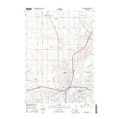
2014 Map of Cedar Springs SW
USGS Topo · Published 2014About this map
Grand River and its surrounding tributaries form the geographic heart of this 2014 study of Kent County, Michigan. The landscape transition from the developed northern outskirts of Grand Rapids and Walker to the more agrarian reaches of Alpine and Englishville is clearly defined. Urban development is clustered near Comstock Park and Northview, while the northern portion of the map reveals a dense network of glacial lakes, including Little Pine Island Lake, Elk Lake, and Baumhoff Lake. Genealogists will find a high concentration of burial sites throughout the region, ranging from the Veterans Cem and Fair Plains Cem in the south to the Englishville Cem and Alpine Cem further north. This modern survey effectively illustrates the residential expansion of the Grand Rapids area as it interfaces with established rural crossroads like Ballards Corners.
Find a feature on this map
67 named features on this map. Tap any name to fly to it.
Don’t see what you’re looking for? This feature index may not catch every label — zoom into the map to look around manually.
Map Details
Editions of this 2014 Cedar Springs SW Map
This is the sole edition of this map. No revisions or reprints were ever made.
Other maps of this area

1914 · Grand Rapids
USGS Topo · 1:62,500

1918 · Cedar Springs
USGS Topo · 1:62,500

1943 · Cedar Springs
USGS Topo · 1:62,500

1943 · Grand Rapids
USGS Topo · 1:62,500

1945 · Ravenna
USGS Topo · 1:62,500

1954 · Midland
USGS Topo · 1:250,000

1958 · Midland
USGS Topo · 1:250,000

1958 · Grandville
USGS Topo · 1:62,500

1958 · Grandville
USGS Topo · 1:24,000

1958 · Grand Rapids
USGS Topo · 1:250,000