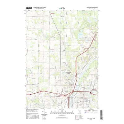
2017 Map of Cedar Springs SW
USGS Topo · Published 2017About this map
Grand River and Rogue River converge in this northern reach of the Grand Rapids area, a landscape defined by its glacial lakes and transition from suburban centers to rural crossroads. Several historic cemeteries serve as focal points for local history and genealogy, including Englishville Cem, Alpine Cem, and the notable Grand Rapids Home for Veterans Cem. Small traditional settlements like Ballards Corners, Englishville, and Wilder Center are documented alongside the growing footprints of Walker and Northview.
Find a feature on this map
195 named features on this map. Tap any name to fly to it.
Don’t see what you’re looking for? This feature index may not catch every label — zoom into the map to look around manually.
Map Details
Editions of this 2017 Cedar Springs SW Map
This is the sole edition of this map. No revisions or reprints were ever made.
Other maps of this area

1914 · Grand Rapids
USGS Topo · 1:62,500

1918 · Cedar Springs
USGS Topo · 1:62,500

1943 · Cedar Springs
USGS Topo · 1:62,500

1943 · Grand Rapids
USGS Topo · 1:62,500

1945 · Ravenna
USGS Topo · 1:62,500

1954 · Midland
USGS Topo · 1:250,000

1958 · Midland
USGS Topo · 1:250,000

1958 · Grandville
USGS Topo · 1:62,500

1958 · Grandville
USGS Topo · 1:24,000

1958 · Grand Rapids
USGS Topo · 1:250,000