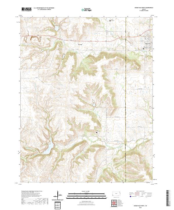
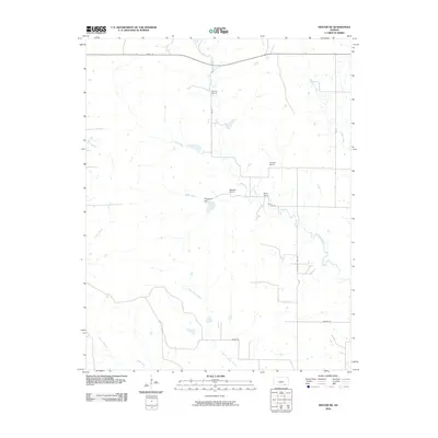
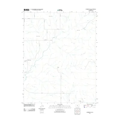
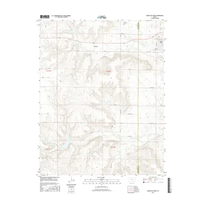
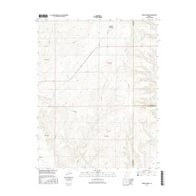
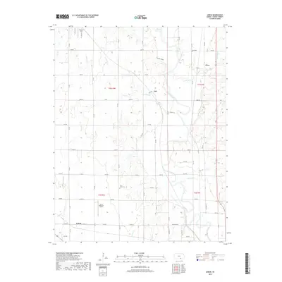
2022 Map of Cedar Vale West
USGS Topo · Published 2022About this map
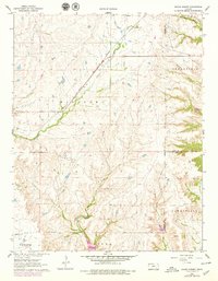
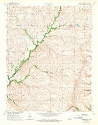
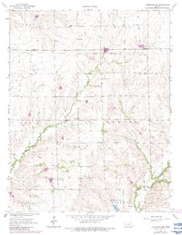
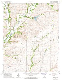
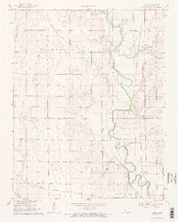
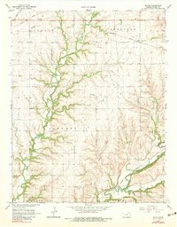
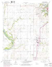
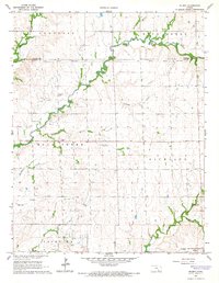
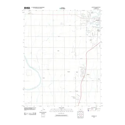
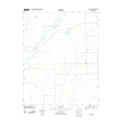
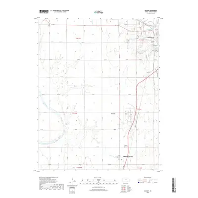
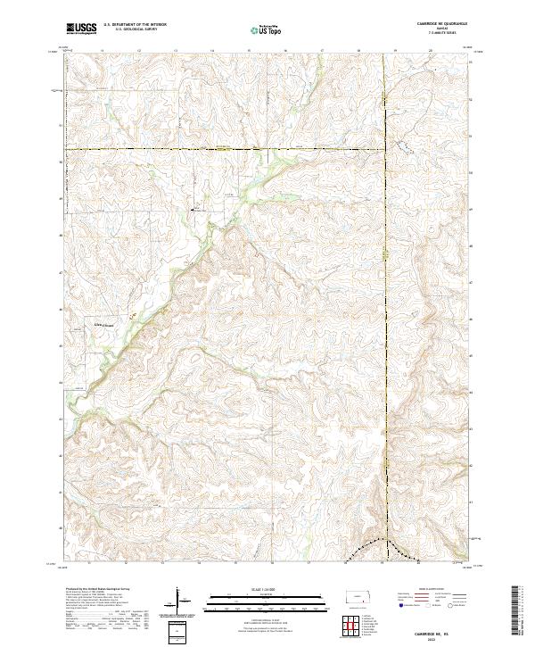
Cedar Vale sits at the eastern edge of this landscape, where the town's residential streets like Caney St and Walnut St meet the rolling transition into the Flint Hills region. The terrain is deeply incised by a dense network of watercourses, including the westward flow of S Cedar Cr and the southern reaches of Rock Cr. This area of western Cowley County is characterized by upland plateaus and narrow stream valleys, with rural life anchored by small settlements like Taussig and local landmarks such as Cedar Vale Cem.
Find a feature on this map
49 named features on this map. Tap any name to fly to it.
Don’t see what you’re looking for? This feature index may not catch every label — zoom into the map to look around manually.
Map Details
Editions of this 2022 Cedar Vale West Map
This is the sole edition of this map. No revisions or reprints were ever made.
Historical Maps of Cedar Vale Through Time
66 maps found
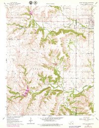
1962 Cedar Vale West
Cowley County, KS
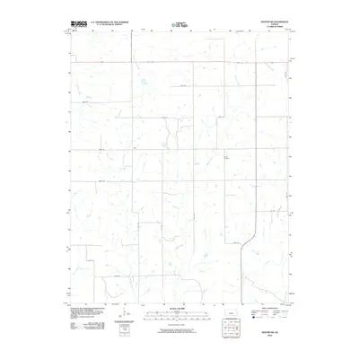
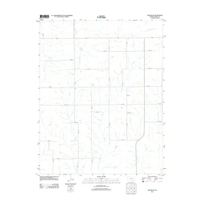
1962 Dexter NE
Cowley County, KS
1962 Dexter SW
Cowley County, KS
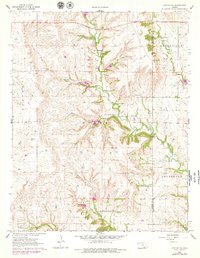
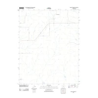
1962 Grand Summit
Cowley County, KS
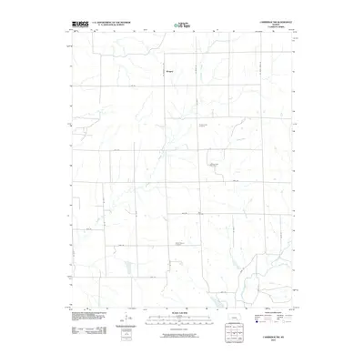
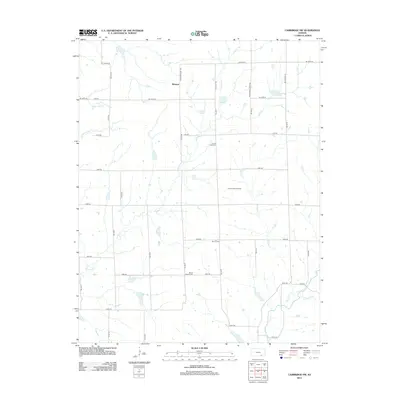
1964 Cambridge NE
Cowley County, KS
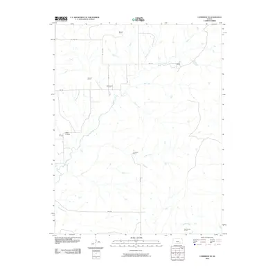
1964 Cambridge NW
Cowley County, KS
1964 Maple City
Cowley County, KS
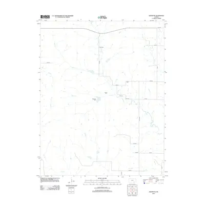
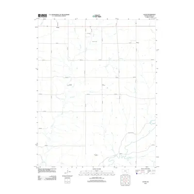
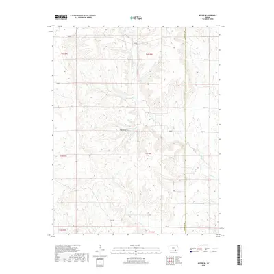
1965 Akron
Cowley County, KS
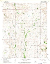
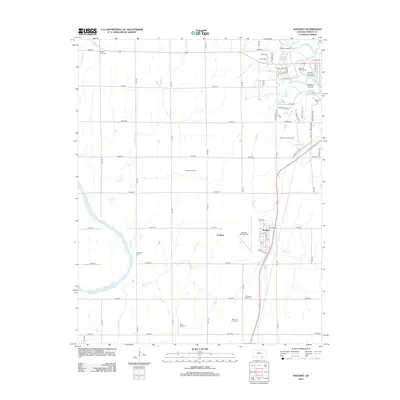
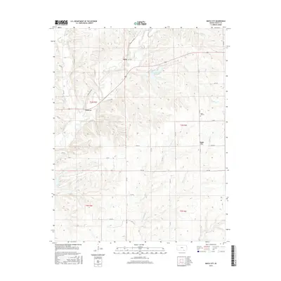
1965 Eaton
Cowley County, KS
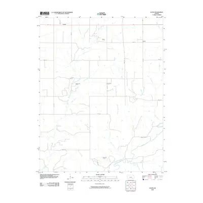
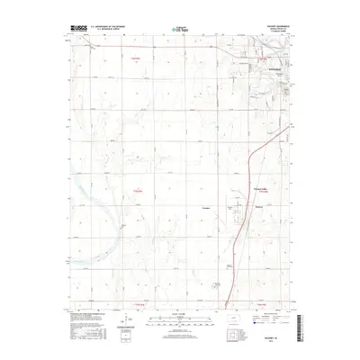
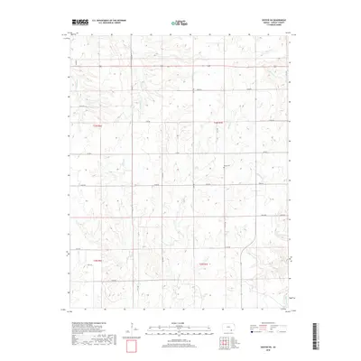
1965 Hackney
Cowley County, KS
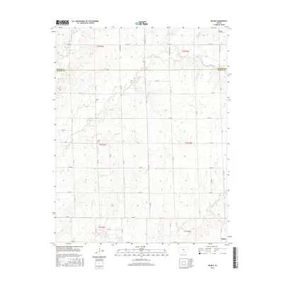
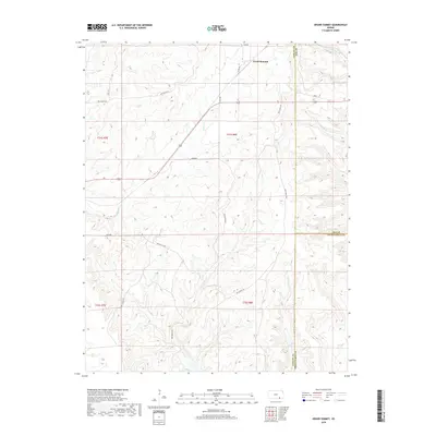
1965 Wilmot
Cowley County, KS
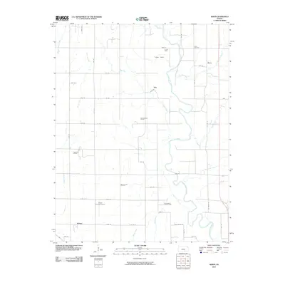
2010 Akron
Cowley County, KS
2010 Cambridge NE
Cowley County, KS
2010 Cambridge NW
Cowley County, KS
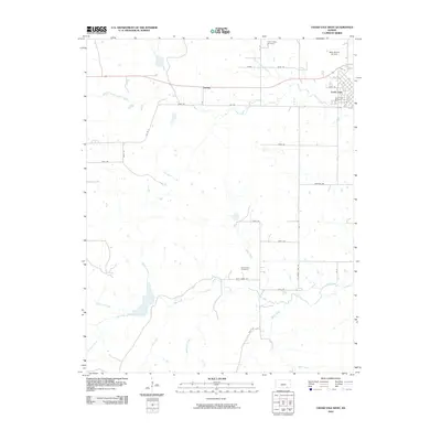
2010 Cedar Vale West
Cowley County, KS
2010 Dexter NE
Cowley County, KS
2010 Dexter SW
Cowley County, KS
2010 Eaton
Cowley County, KS
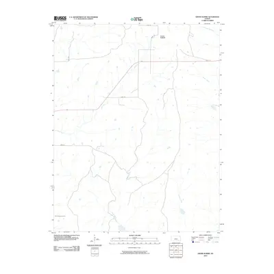
2010 Grand Summit
Cowley County, KS
2010 Hackney
Cowley County, KS
2010 Maple City
Cowley County, KS
2010 Wilmot
Cowley County, KS
2012 Akron
Cowley County, KS
2012 Cambridge NE
Cowley County, KS
2012 Cambridge NW
Cowley County, KS
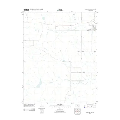
2012 Cedar Vale West
Cowley County, KS
2012 Dexter NE
Cowley County, KS
2012 Dexter SW
Cowley County, KS
2012 Eaton
Cowley County, KS
2012 Grand Summit
Cowley County, KS
2012 Hackney
Cowley County, KS
2012 Maple City
Cowley County, KS
2012 Wilmot
Cowley County, KS
2015 Akron
Cowley County, KS
2015 Cambridge NE
Cowley County, KS

2015 Cambridge NW
Cowley County, KS
2015 Cedar Vale West
Cowley County, KS
2015 Dexter NE
Cowley County, KS
2015 Dexter SW
Cowley County, KS
2015 Eaton
Cowley County, KS
2015 Grand Summit
Cowley County, KS
2015 Hackney
Cowley County, KS
2015 Maple City
Cowley County, KS
2015 Wilmot
Cowley County, KS
2018 Akron
Cowley County, KS
2018 Cambridge NE
Cowley County, KS
2018 Cambridge NW
Cowley County, KS
2018 Cedar Vale West
Cowley County, KS
2018 Dexter NE
Cowley County, KS
2018 Dexter SW
Cowley County, KS
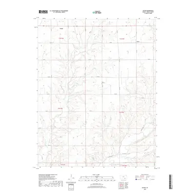
2018 Eaton
Cowley County, KS
2018 Grand Summit
Cowley County, KS
2018 Hackney
Cowley County, KS
2018 Maple City
Cowley County, KS
2018 Wilmot
Cowley County, KS
2022 Akron
Cowley County, KS
2022 Cambridge NE
Cowley County, KS
2022 Cambridge NW
Cowley County, KS
2022 Cedar Vale West
Cowley County, KS

2022 Dexter NE
Cowley County, KS
2022 Dexter SW
Cowley County, KS
2022 Eaton
Cowley County, KS
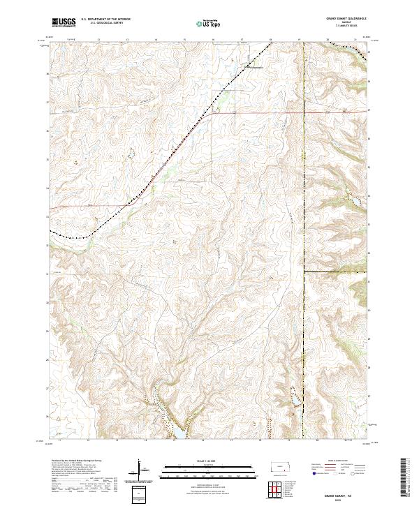
2022 Grand Summit
Cowley County, KS
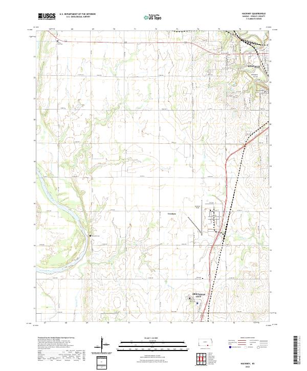
2022 Hackney
Cowley County, KS
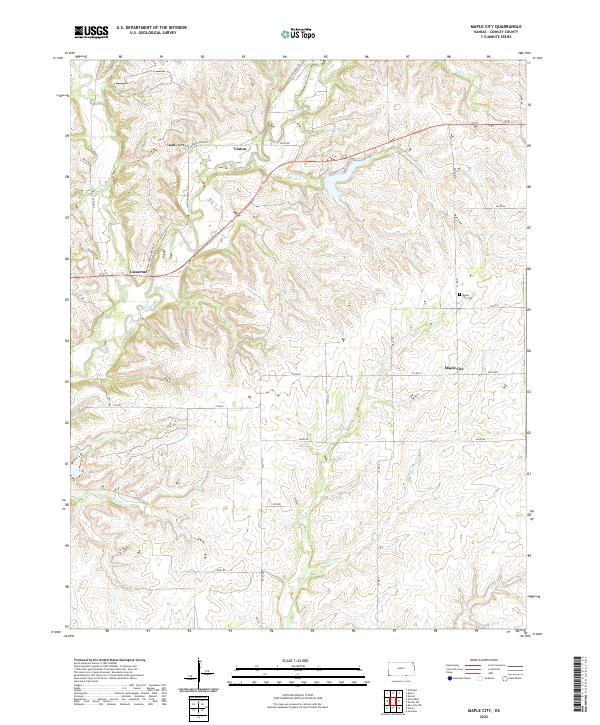
2022 Maple City
Cowley County, KS
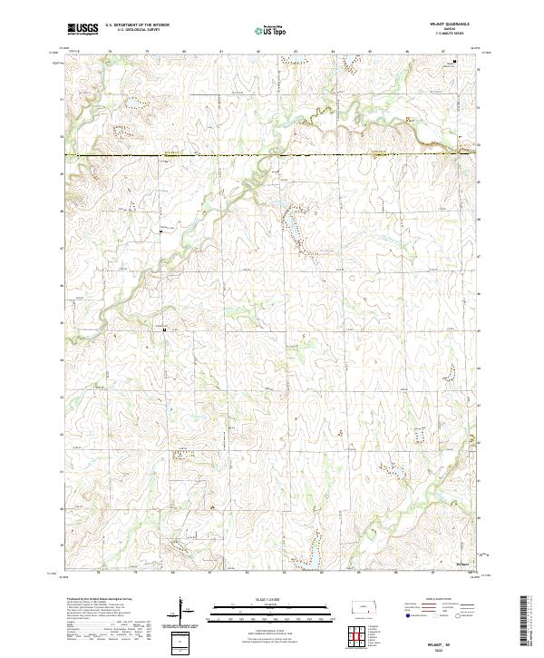
2022 Wilmot
Cowley County, KS