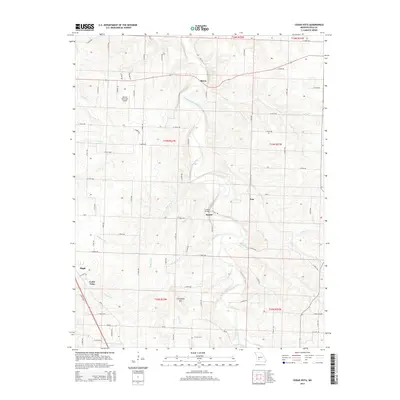
2015 Map of Cedar Vista
USGS Topo · Published 2015About this map
The Pomme de Terre River carves a winding path through this portion of Polk County, defining a landscape shaped by numerous small tributaries such as McKinney Br, Kilburn Br, and Whitten Br. Small crossroads communities and settlements like Burns, Van, and Sunset are scattered across the terrain, connected by a network of county roads and state routes like Mo-Y and Mo-Aa. The presence of the Sunset Bridge and the Bolivar Municipal Airport indicates the infrastructure supporting these rural locales.
Find a feature on this map
114 named features on this map. Tap any name to fly to it.
Don’t see what you’re looking for? This feature index may not catch every label — zoom into the map to look around manually.
Map Details
Editions of this 2015 Cedar Vista Map
This is the sole edition of this map. No revisions or reprints were ever made.
Other maps of this area
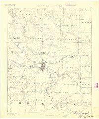
1884 · Springfield
USGS Topo · 1:125,000
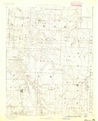
1884 · Bolivar
USGS Topo · 1:125,000
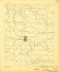
1886 · Springfield
USGS Topo · 1:125,000
1892 · Bolivar
USGS Topo · 1:125,000
1947 · Strafford
USGS Topo · 1:62,500
1948 · Strafford
USGS Topo · 1:62,500
1950 · Buffalo NW
USGS Topo · 1:24,000
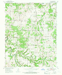
1950 · Polk
USGS Topo · 1:24,000
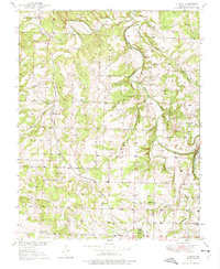
1950 · Cliquot
USGS Topo · 1:24,000
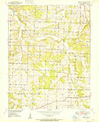
1951 · Buffalo NW
USGS Topo · 1:24,000