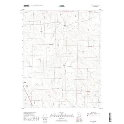
2017 Map of Cedar Vista
USGS Topo · Published 2017About this map
The Pomme de Terre River carves a winding path through this Polk County landscape, which is defined by a dense network of tributaries including Wolf Cr, Schultz Cr, and McKinney Br. Small rural hubs such as Halfway, Burns, and Van are connected by a geometric grid of county roads, reflecting the region's enduring agricultural character. In the southwest, the community of Cedar Vista and the nearby Slagle mark the transition toward more populated areas, while the Bolivar Municipal Airport occupies the higher ground in the northwest. Local landmarks such as Graveyard Hill and the Sunset Bridge crossing provide specific points of interest for those tracing family history or local geography. The map illustrates how modern aviation and historic river crossings coexist within a traditional Ozark plateau settlement pattern.
Find a feature on this map
54 named features on this map. Tap any name to fly to it.
Don’t see what you’re looking for? This feature index may not catch every label — zoom into the map to look around manually.
Map Details
Editions of this 2017 Cedar Vista Map
This is the sole edition of this map. No revisions or reprints were ever made.
Other maps of this area
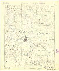
1884 · Springfield
USGS Topo · 1:125,000
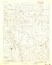
1884 · Bolivar
USGS Topo · 1:125,000
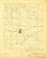
1886 · Springfield
USGS Topo · 1:125,000
1892 · Bolivar
USGS Topo · 1:125,000
1947 · Strafford
USGS Topo · 1:62,500
1948 · Strafford
USGS Topo · 1:62,500
1950 · Buffalo NW
USGS Topo · 1:24,000
1950 · Polk
USGS Topo · 1:24,000
1950 · Cliquot
USGS Topo · 1:24,000
1951 · Buffalo NW
USGS Topo · 1:24,000