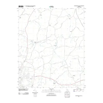
2011 Map of Cedartown East
USGS Topo · Published 2011About this map
Wimberly Hill Baptist Church and its accompanying cemetery anchor the southern landscape of Polk County, where the transition from rural acreage to the outskirts of Cedartown is evident. This 2011 topographic record shows a countryside woven together by family-named roads like Pullen Rd and Jake Whorton Rd SE, connecting small communities such as Relay, Brice, and Green. The geography is defined by the winding course of Silver Creek and Lake Creek, the latter of which is managed by the Casey Lake Dam. Local aviation history is preserved at Cornelius-Moore Field, while several prominent burial grounds, including New Prospect and Pleasant Hill, serve as significant landmarks for those tracing ancestral roots in this corner of Georgia. The map also captures the local drainage pattern of Tan Yard Branch near the developing residential areas.
Find a feature on this map
79 named features on this map. Tap any name to fly to it.
Don’t see what you’re looking for? This feature index may not catch every label — zoom into the map to look around manually.
Map Details
Editions of this 2011 Cedartown East Map
This is the sole edition of this map. No revisions or reprints were ever made.
Other maps of this area

1886 · Rome
USGS Topo · 1:125,000

1889 · Tallapoosa
USGS Topo · 1:125,000

1892 · Tallapoosa
USGS Topo · 1:125,000

1897 · Tallapoosa
USGS Topo · 1:125,000

1898 · Rome
USGS Topo · 1:125,000

1899 · Rome
USGS Topo · 1:125,000

1904 · Rome
USGS Topo · 1:125,000

1953 · Atlanta
USGS Topo · 1:250,000

1955 · Rome
USGS Topo · 1:250,000

1957 · Atlanta
USGS Topo · 1:250,000