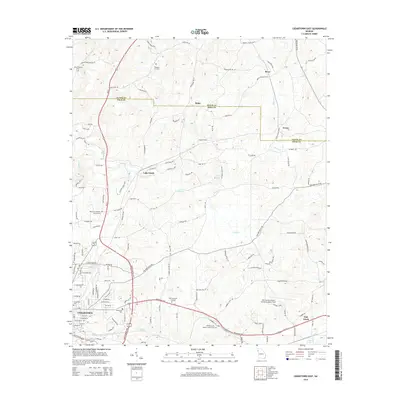
2014 Map of Cedartown East
USGS Topo · Published 2014About this map
The rolling landscape of Polk and Floyd counties in North Georgia comes into focus through this 2014 survey. The eastern portion of Cedartown serves as an anchor, where the topography transitions from developed residential areas near Greenwood Cemetery and Northview Cemetery into the rural valleys and ridges characteristic of the region. Transportation and logistics are central to the landscape, evidenced by the presence of Polk County Airport-Cornelius Moore Field and the corridor of Us-27.
Find a feature on this map
127 named features on this map. Tap any name to fly to it.
Don’t see what you’re looking for? This feature index may not catch every label — zoom into the map to look around manually.
Map Details
Editions of this 2014 Cedartown East Map
This is the sole edition of this map. No revisions or reprints were ever made.
Other maps of this area

1886 · Rome
USGS Topo · 1:125,000

1889 · Tallapoosa
USGS Topo · 1:125,000

1892 · Tallapoosa
USGS Topo · 1:125,000

1897 · Tallapoosa
USGS Topo · 1:125,000

1898 · Rome
USGS Topo · 1:125,000

1899 · Rome
USGS Topo · 1:125,000

1904 · Rome
USGS Topo · 1:125,000

1953 · Atlanta
USGS Topo · 1:250,000

1955 · Rome
USGS Topo · 1:250,000

1957 · Atlanta
USGS Topo · 1:250,000