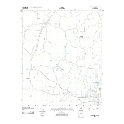
2011 Map of Cedartown West
USGS Topo · Published 2011About this map
Chubbtown and the western edge of Cedartown anchor this 2011 survey, where the rolling landscape of Polk County is defined by the drainage systems of Little Cedar Creek and Dry Creek. The map documents a rural transition from residential grid-work to agricultural valleys, marked by a high density of named family cemeteries and small impoundments like Kirkpatrick Lake and Hunts Lake. A distinctive transportation legacy is visible at Hematite Crossing, while family lineages are preserved through landmarks such as Hemphill Cemetery, Chubb Road Cemetery, and Sanders Cemetery. The terrain is punctuated by significant local landmarks including Kings Bridge and the Tan Yard Branch, reflecting a landscape deeply shaped by historical water use and small-scale damming, with structures like the Springdale Lake Dam and York Lake Dam regulating the flow across the quadrangle's southern reaches.
Find a feature on this map
67 named features on this map. Tap any name to fly to it.
Don’t see what you’re looking for? This feature index may not catch every label — zoom into the map to look around manually.
Map Details
Editions of this 2011 Cedartown West Map
This is the sole edition of this map. No revisions or reprints were ever made.
Other maps of this area

1886 · Rome
USGS Topo · 1:125,000

1889 · Tallapoosa
USGS Topo · 1:125,000

1892 · Tallapoosa
USGS Topo · 1:125,000

1897 · Tallapoosa
USGS Topo · 1:125,000

1898 · Rome
USGS Topo · 1:125,000

1899 · Rome
USGS Topo · 1:125,000

1904 · Rome
USGS Topo · 1:125,000

1953 · Atlanta
USGS Topo · 1:250,000

1955 · Rome
USGS Topo · 1:250,000

1957 · Atlanta
USGS Topo · 1:250,000