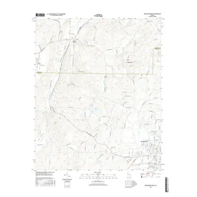
2017 Map of Cedartown West
USGS Topo · Published 2017About this map
Chubbtown and the western outskirts of Cedartown anchor this study of the borderlands between Floyd and Polk Counties in Northwest Georgia. The terrain transitions from the lowlands of Etna Valley and Dardy Hollow to the water-rich landscape surrounding Cave Spring. Numerous family and community landmarks are documented here, including Hemphill Cem, Red Hill Cem, and the Chubb Road Cem, which serve as vital touchstones for genealogical research in this region. The map reveals a complex network of small lakes and springs, such as York Lake, Kirkpatrick Lake, and the notable Cedartown Spring near the city center. Spanning from Kings Bridge on Dry Creek to the various branches of Little Cedar Cr, the hydrography illustrates the drainage patterns that have historically shaped the agricultural and settlement development of this Appalachian foothills area.
Find a feature on this map
139 named features on this map. Tap any name to fly to it.
Don’t see what you’re looking for? This feature index may not catch every label — zoom into the map to look around manually.
Map Details
Editions of this 2017 Cedartown West Map
This is the sole edition of this map. No revisions or reprints were ever made.
Other maps of this area

1886 · Rome
USGS Topo · 1:125,000

1889 · Tallapoosa
USGS Topo · 1:125,000

1892 · Tallapoosa
USGS Topo · 1:125,000

1897 · Tallapoosa
USGS Topo · 1:125,000

1898 · Rome
USGS Topo · 1:125,000

1899 · Rome
USGS Topo · 1:125,000

1904 · Rome
USGS Topo · 1:125,000

1953 · Atlanta
USGS Topo · 1:250,000

1955 · Rome
USGS Topo · 1:250,000

1957 · Atlanta
USGS Topo · 1:250,000