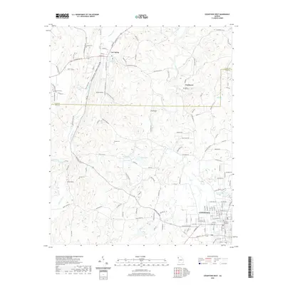
2020 Map of Cedartown West
USGS Topo · Published 2020About this map
Cedartown serves as the primary urban center in this survey, where the Polk County Courthouse stands near the terminus of the Norfolk Southern rail line. The landscape transitions from the developed streets of the county seat toward the northwest, moving through the communities of Etna Valley and Chubbtown. Local history is preserved in several family and community burial grounds, including Hemphill Cem and Sanders Cem, which are interspersed among the ridges and hollows such as Dardy Hollow.
Find a feature on this map
134 named features on this map. Tap any name to fly to it.
Don’t see what you’re looking for? This feature index may not catch every label — zoom into the map to look around manually.
Map Details
Editions of this 2020 Cedartown West Map
This is the sole edition of this map. No revisions or reprints were ever made.
Other maps of this area

1886 · Rome
USGS Topo · 1:125,000

1889 · Tallapoosa
USGS Topo · 1:125,000

1892 · Tallapoosa
USGS Topo · 1:125,000

1897 · Tallapoosa
USGS Topo · 1:125,000

1898 · Rome
USGS Topo · 1:125,000

1899 · Rome
USGS Topo · 1:125,000

1904 · Rome
USGS Topo · 1:125,000

1953 · Atlanta
USGS Topo · 1:250,000

1955 · Rome
USGS Topo · 1:250,000

1957 · Atlanta
USGS Topo · 1:250,000