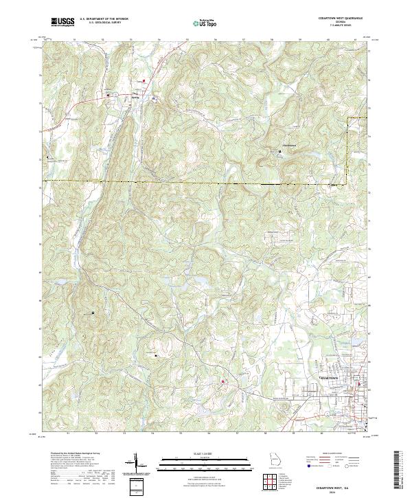
2024 Map of Cedartown West
USGS Topo · Published 2024About this map
Cave Spring serves as a northern anchor for this Georgia landscape, which follows the geological transition from the Etna Valley floor toward the higher elevations of Banks Mountain Road. The town of Cedartown occupies the southeast corner, centered on the Polk County Courthouse and the hydrology of Cedartown Spring.
Find a feature on this map
135 named features on this map. Tap any name to fly to it.
Don’t see what you’re looking for? This feature index may not catch every label — zoom into the map to look around manually.
Map Details
Editions of this 2024 Cedartown West Map
This is the sole edition of this map. No revisions or reprints were ever made.
Other maps of this area

1886 · Rome
USGS Topo · 1:125,000

1889 · Tallapoosa
USGS Topo · 1:125,000

1892 · Tallapoosa
USGS Topo · 1:125,000

1897 · Tallapoosa
USGS Topo · 1:125,000

1898 · Rome
USGS Topo · 1:125,000

1899 · Rome
USGS Topo · 1:125,000

1904 · Rome
USGS Topo · 1:125,000

1953 · Atlanta
USGS Topo · 1:250,000

1955 · Rome
USGS Topo · 1:250,000

1957 · Atlanta
USGS Topo · 1:250,000