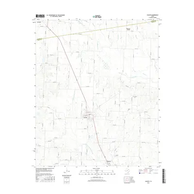
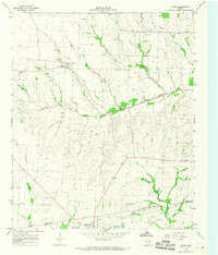
2016 Map of Celeste
USGS Topo · Published 2016About this map
Celeste and Kingston anchor this portrait of North Texas agricultural land near the border of Fannin and Hunt counties. The landscape is defined by the headwaters of several significant river systems, including the S Sulphur River and the Cowleech Fork Sabine River. These waterways, along with tributaries like Rainbow Creek and Mustang Creek, dictate the winding paths of the local county road network that connects scattered homesteads and family burial sites.
Find a feature on this map
91 named features on this map. Tap any name to fly to it.
Don’t see what you’re looking for? This feature index may not catch every label — zoom into the map to look around manually.
Map Details
Editions of this 2016 Celeste Map
This is the sole edition of this map. No revisions or reprints were ever made.
Other maps of this area
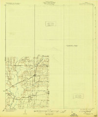
1930 · Farmersville
USGS Topo · 1:62,500

1954 · Sherman
USGS Topo · 1:250,000

1958 · Sherman
USGS Topo · 1:250,000
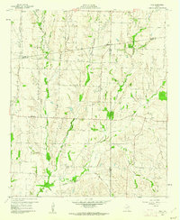
1960 · Pike
USGS Topo · 1:24,000
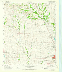
1962 · Greenville NW
USGS Topo · 1:24,000
1962 · Farmersville
USGS Topo · 1:24,000
1963 · Greenville NE
USGS Topo · 1:24,000
1964 · Trenton
USGS Topo · 1:24,000
1964 · Celeste
USGS Topo · 1:24,000
1964 · Gober
USGS Topo · 1:24,000