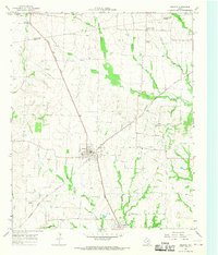
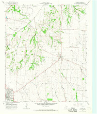
1964 Map of Celeste
USGS Topo · Published 1968About this map
Celeste sits at the junction of two major rail corridors in Hunt County, where the Missouri Kansas Texas and the Atchison Topeka and Santa Fe lines cross. The surrounding landscape in the mid-1960s was defined by small agricultural settlements and a network of winding waterways including the South Sulphur River and the Cowleech Fork Sabine River. These streams, along with their tributaries like Tidwell Creek and Arnold Creek, dictate the movement of roads and property lines across the rolling terrain.
Find a feature on this map
28 named features on this map. Tap any name to fly to it.
Don’t see what you’re looking for? This feature index may not catch every label — zoom into the map to look around manually.
Map Details
Editions of this 1964 Celeste Map
This is the sole edition of this map. No revisions or reprints were ever made.
Other maps of this area
1930 · Farmersville
USGS Topo · 1:62,500

1954 · Sherman
USGS Topo · 1:250,000

1958 · Sherman
USGS Topo · 1:250,000
1960 · Pike
USGS Topo · 1:24,000
1962 · Greenville NW
USGS Topo · 1:24,000
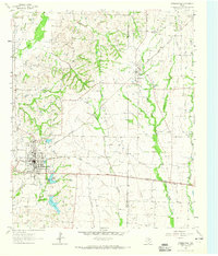
1962 · Farmersville
USGS Topo · 1:24,000
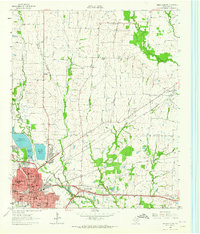
1963 · Greenville NE
USGS Topo · 1:24,000
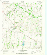
1964 · Trenton
USGS Topo · 1:24,000
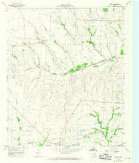
1964 · Gober
USGS Topo · 1:24,000
1964 · Leonard
USGS Topo · 1:24,000