Loading...
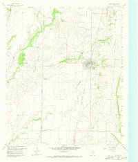
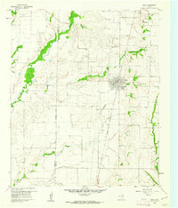
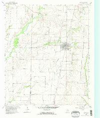
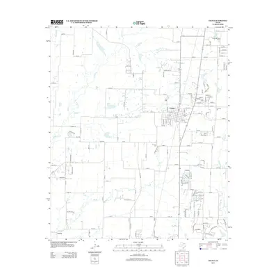
Loading map...1960 Map of Celina
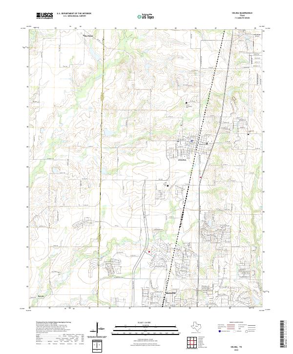
USGS Topo · Published 1973About this map
Celina sits at the heart of this agricultural landscape in North Texas, positioned where the St Louis San Francisco and Texas railroad cuts north-south through the terrain. The map captures a moment when the town was a well-defined hub, featuring a Jr High Sch and a prominent TV Tower. Outside the main settlement, the area is defined by the winding paths of Little Elm Creek, Doe Branch, and Wilson Creek, which dictate the local topography and property boundaries.
Find a feature on this map
18 named features on this map. Tap any name to fly to it.
Don’t see what you’re looking for? This feature index may not catch every label — zoom into the map to look around manually.
Map Details
Date Portrayed1960
Date Published1973
PublisherU.S. Geological Survey
Map TypeTopographic
Scale1:24,000
Physical Dimensions23 x 27 inches
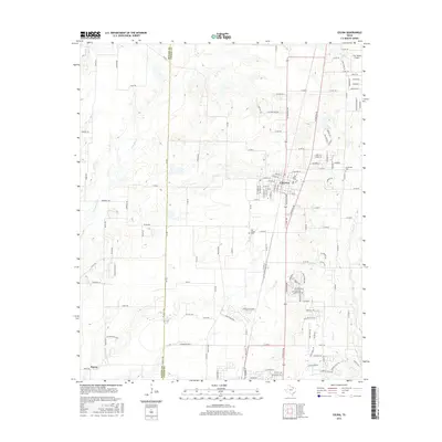
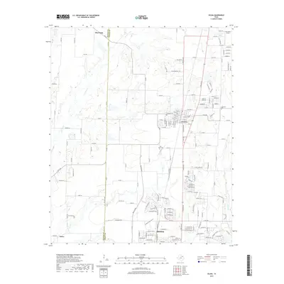
Editions of this 1960 Celina Map
Historical Maps of Prosper Through Time
6 maps found
Featured Locations
Source Details
SourceU.S. Geological Survey
CopyrightPublic Domain