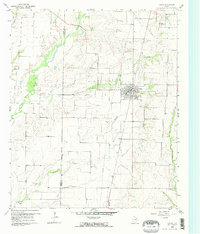
1960 Map of Celina
USGS Topo · Published 1973About this map
Celina serves as the primary hub of this North Texas landscape at the start of the 1960s, situated at the junction of rail and road near the Denton Co Collin Co boundary. The town's grid is well-established, supported by nearby industrial activity at the Gravel Pit and several Quarries. To the south, the smaller settlement of Parvin sits along the banks of Doe Branch, one of many tributaries feeding into the larger drainage systems of Little Elm Creek, Wilson Creek, and Gentle Creek.
Find a feature on this map
15 named features on this map. Tap any name to fly to it.
Don’t see what you’re looking for? This feature index may not catch every label — zoom into the map to look around manually.
Map Details
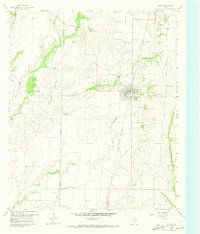
Editions of this 1960 Celina Map
Other maps of this area

1929 · Frisco
USGS Topo · 1:62,500

1929 · McKinney
USGS Topo · 1:62,500

1954 · Sherman
USGS Topo · 1:250,000

1958 · Sherman
USGS Topo · 1:250,000

1960 · Frisco
USGS Topo · 1:24,000

1960 · Celina
USGS Topo · 1:24,000

1960 · Aubrey
USGS Topo · 1:24,000
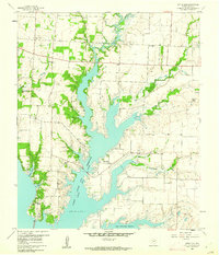
1960 · Little Elm
USGS Topo · 1:24,000
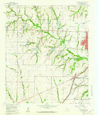
1960 · McKinney West
USGS Topo · 1:24,000

1961 · Gunter
USGS Topo · 1:24,000