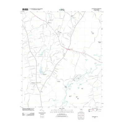
2011 Map of Centenary
USGS Topo · Published 2011About this map
The Little Pee Dee River dominates the southeastern quadrant of this South Carolina landscape, creating a complex network of backwaters and named ridges. This river system features several notable lakes and landings, including Knife Island Landing and Cartwheel Landing, which speak to the historic waterborne navigation and fishing of the region. The map captures the agricultural and timber character of Marion County, where small settlements like Centenary and Rains are centers of community life, each anchored by its own post office.
Find a feature on this map
141 named features on this map. Tap any name to fly to it.
Don’t see what you’re looking for? This feature index may not catch every label — zoom into the map to look around manually.
Map Details
Editions of this 2011 Centenary Map
This is the sole edition of this map. No revisions or reprints were ever made.
Other maps of this area

1943 · Horry
USGS Topo · 1:24,000

1946 · Johnsonville
USGS Topo · 1:62,500

1946 · Mullins
USGS Topo · 1:24,000

1947 · Friendship
USGS Topo · 1:24,000

1947 · Marion
USGS Topo · 1:24,000

1947 · Centenary
USGS Topo · 1:24,000

1947 · Mullins
USGS Topo · 1:24,000

1948 · Galivants Ferry
USGS Topo · 1:24,000

1948 · Nichols
USGS Topo · 1:24,000

1949 · Georgetown
USGS Topo · 1:250,000