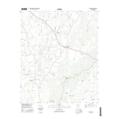
2017 Map of Centenary
USGS Topo · Published 2017About this map
Little Pee Dee River and its labyrinthine wetlands dominate this part of the coastal plain, where the border between Marion Co and Horry Co follows the shifting water. The landscape is defined by an intricate network of oxbows and swamp lakes, including Liza Lake, Barnett Lake, and Elvis Lake. Agricultural and timber legacies are evident in the naming of local landmarks like Smith Mill Pond and Leggett Mill Pond, while the upland areas support the small crossroads communities of Rains, Centenary, and Ariel Cross Road. Genealogists will find several small burial grounds documented, such as Olivet Cem and Palmer Cem, often situated near the family-named roads that crisscross the sandy ridges and bays.
Find a feature on this map
122 named features on this map. Tap any name to fly to it.
Don’t see what you’re looking for? This feature index may not catch every label — zoom into the map to look around manually.
Map Details
Editions of this 2017 Centenary Map
This is the sole edition of this map. No revisions or reprints were ever made.
Other maps of this area

1943 · Horry
USGS Topo · 1:24,000

1946 · Johnsonville
USGS Topo · 1:62,500

1946 · Mullins
USGS Topo · 1:24,000

1947 · Friendship
USGS Topo · 1:24,000

1947 · Marion
USGS Topo · 1:24,000

1947 · Centenary
USGS Topo · 1:24,000

1947 · Mullins
USGS Topo · 1:24,000

1948 · Galivants Ferry
USGS Topo · 1:24,000

1948 · Nichols
USGS Topo · 1:24,000

1949 · Georgetown
USGS Topo · 1:250,000