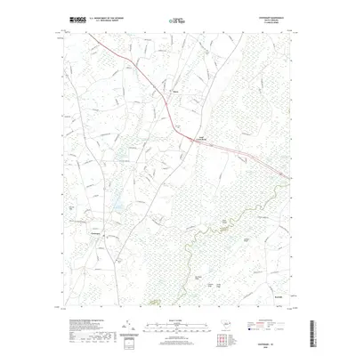
2020 Map of Centenary
USGS Topo · Published 2020About this map
The Little Pee Dee River defines the southeastern landscape of this region, meandering through a dense network of swampy lowlands and named basins. The river valley is a complex of wetlands including Back Swamp, Bee Tree Lake, and Cypress Lake, flanked by higher ground at Big Sandy Ridge and Cooper Ridge. This environment historically shaped the local economy and settlement patterns, evidenced by the presence of hydraulic works like Smith Mill Pond and Leggett Mill Pond.
Find a feature on this map
123 named features on this map. Tap any name to fly to it.
Don’t see what you’re looking for? This feature index may not catch every label — zoom into the map to look around manually.
Map Details
Editions of this 2020 Centenary Map
This is the sole edition of this map. No revisions or reprints were ever made.
Other maps of this area

1943 · Horry
USGS Topo · 1:24,000

1946 · Johnsonville
USGS Topo · 1:62,500

1946 · Mullins
USGS Topo · 1:24,000

1947 · Friendship
USGS Topo · 1:24,000

1947 · Marion
USGS Topo · 1:24,000

1947 · Centenary
USGS Topo · 1:24,000

1947 · Mullins
USGS Topo · 1:24,000

1948 · Galivants Ferry
USGS Topo · 1:24,000

1948 · Nichols
USGS Topo · 1:24,000

1949 · Georgetown
USGS Topo · 1:250,000