2024 Map of Centenary
USGS Topo · Published 2024About this map
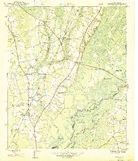
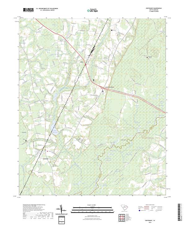
The Little Pee Dee River defines the landscape of Marion and Horry counties, its winding course giving way to an intricate system of backwaters, ridges, and bays. The area surrounding Centenary is characterized by its numerous named lakes and swamps, including Haroldson Lake, Jack Lake, and the expansive Back Swamp. These water bodies are often separated by distinct elevations such as Cooper Ridge and Big Sandy Ridge, which historically dictated the placement of roads and homesteads in this low-lying region.
Find a feature on this map
136 named features on this map. Tap any name to fly to it.
Don’t see what you’re looking for? This feature index may not catch every label — zoom into the map to look around manually.
Map Details
Editions of this 2024 Centenary Map
This is the sole edition of this map. No revisions or reprints were ever made.