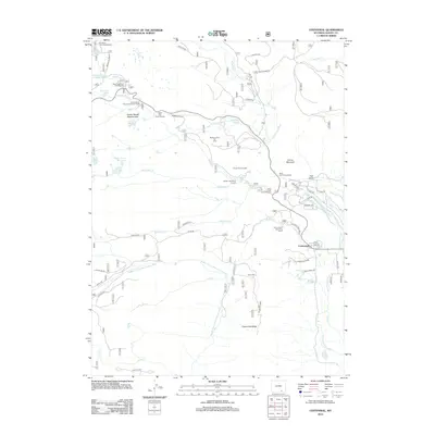
2012 Map of Centennial
USGS Topo · Published 2012About this map
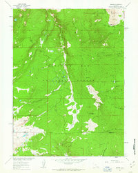
Centennial serves as the focal point for this high-altitude landscape, where the town's small grid of streets, including 4th St and 3rd St, sits at the base of Centennial Ridge. The map details a complex network of alpine hydrology and recreation, with numerous lakes such as Swastika Lake and Brooklyn Lake feeding into the forks of the Little Laramie River. Educational and leisure infrastructure is prominent, evidenced by the University of Wyoming Science Camp and the Snowy Range Lodge. The irrigation history of the region is traced through early engineering works like Adams Ditch, Domick Ditch, and Markle Ditch, which directed water from the mountain streams to lower elevations. This survey captures the area's dual character as both a center for academic field study and a recreational hub, featuring the Medicine Bow Ski Area and various forest service campgrounds along the Nash Fork.
Find a feature on this map
70 named features on this map. Tap any name to fly to it.
Don’t see what you’re looking for? This feature index may not catch every label — zoom into the map to look around manually.
Map Details
Editions of this 2012 Centennial Map
This is the sole edition of this map. No revisions or reprints were ever made.
Other maps of this area

1906 · Medicine Bow
USGS Topo · 1:125,000

1908 · Medicine Bow
USGS Topo · 1:125,000

1954 · Rawlins
USGS Topo · 1:250,000

1958 · Rawlins
USGS Topo · 1:250,000

1961 · Sand Lake
USGS Topo · 1:24,000
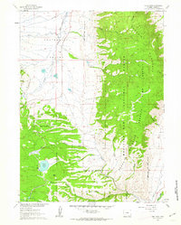
1961 · Lake Owen
USGS Topo · 1:24,000
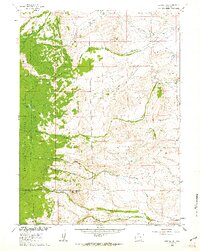
1961 · Strouss Hill
USGS Topo · 1:24,000

1961 · Medicine Bow Peak
USGS Topo · 1:24,000
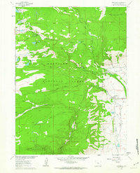
1961 · Centennial
USGS Topo · 1:24,000
1961 · Morgan
USGS Topo · 1:24,000